The Manchester, Bolton and Bury Canal. This is one place I loved to walk through my teens and early twenties. I have cycled it, walked it and took the dog down here many a time. I did my dissertation of this for university as a habitat for wildlife and it’s purpose for nature.
The section the group walked is the area around Radcliffe my home town and where I grow up for 28 years of my life. We pass my old high school, retrace the steps of a many a horse towed boat along the canal in years gone by and just enjoy a February walk.
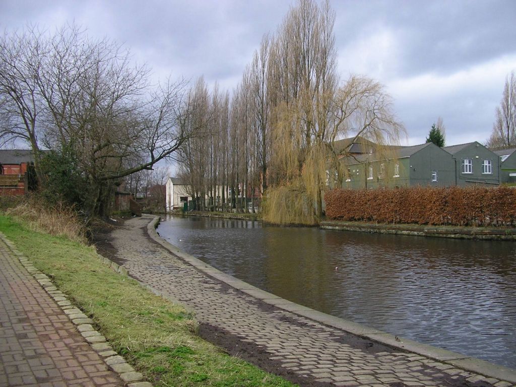
Our walk started at the metrolink station in Radcliffe life, cutting past Coney Green High School and onto the Manchester Bolton and Bury Canal. From here we headed west towards Bolton. Radcliffe Wharf which first feature we come across would have been a busy space when the canal was in use, but now the area has wildlife congregating around the waters age not barges.
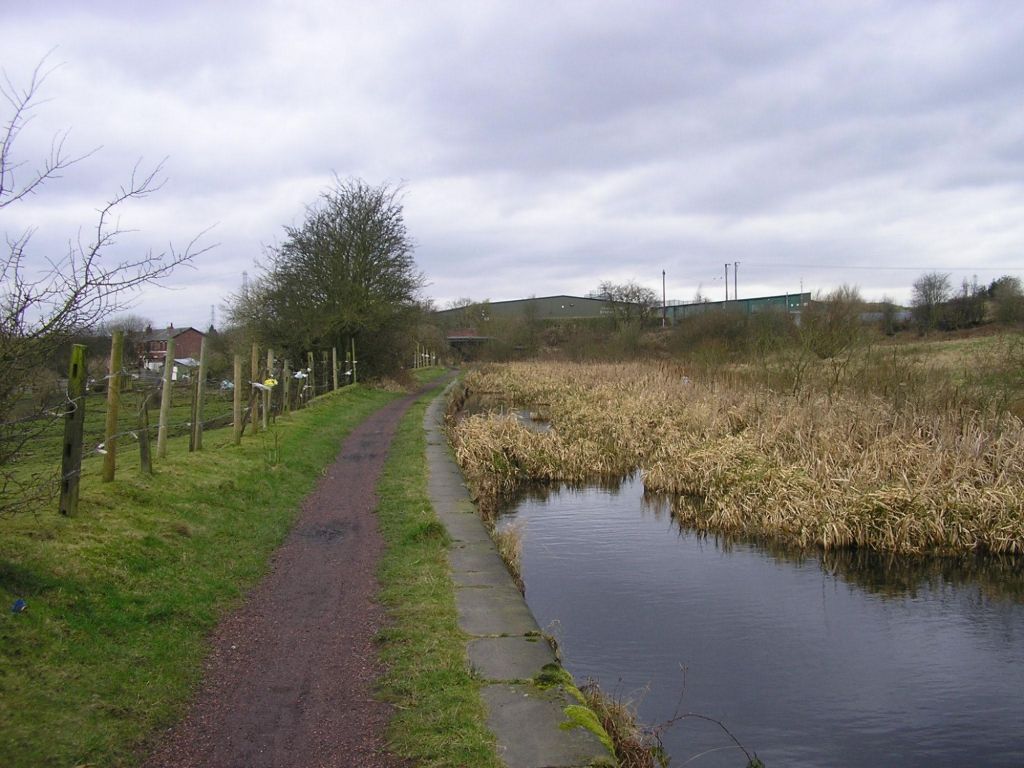
The canal runs virtually flat as it leaves Radcliffe out towards Little Lever. As you walk along this area you can look out towards Outwood and the river Irwell. This stretch I often frequented in my teenage years cycling and walking the dog, so know if well and a favourite place to visit and just sit on the canal side and enjoy nature.
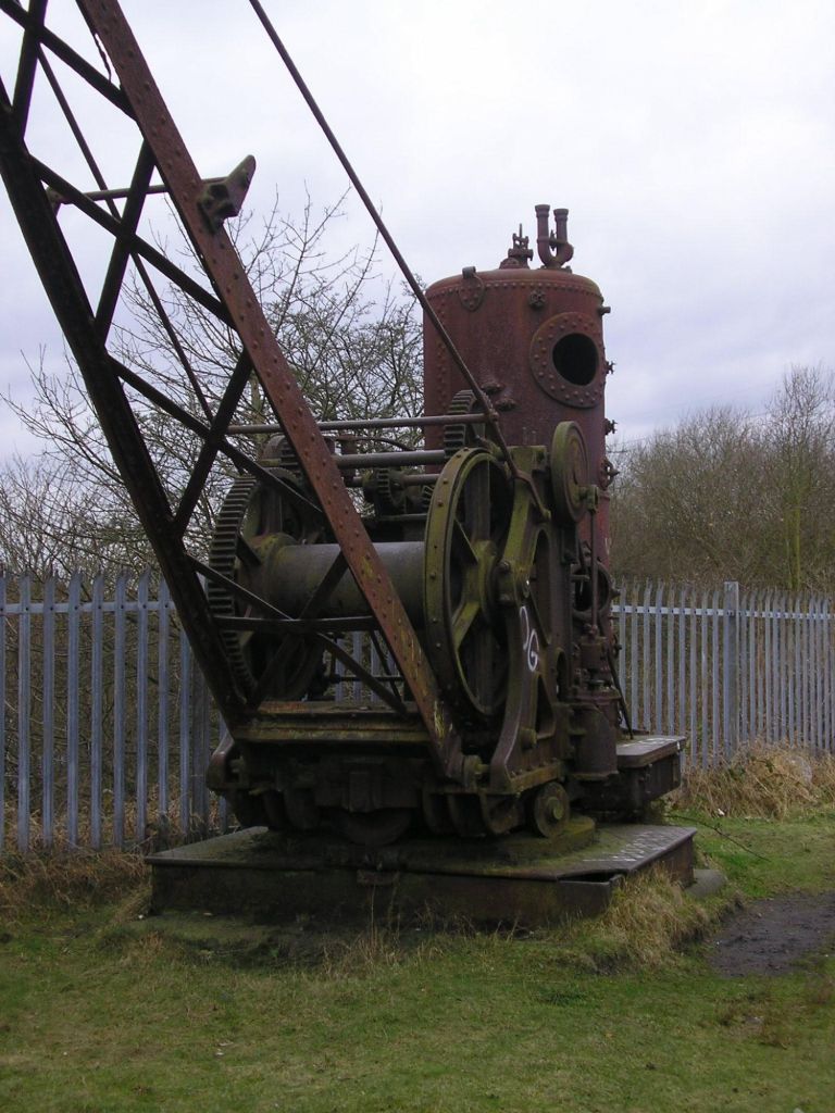
Continuing the walk we pass under Sion Bridge and then above Mount Sion works. The factory still remains, but the site would have been bigger and a hall once stood beyond the wall to the left of the picture above, long since gone. Mount Sion Crane was used to take good to and from the barges to the works below.
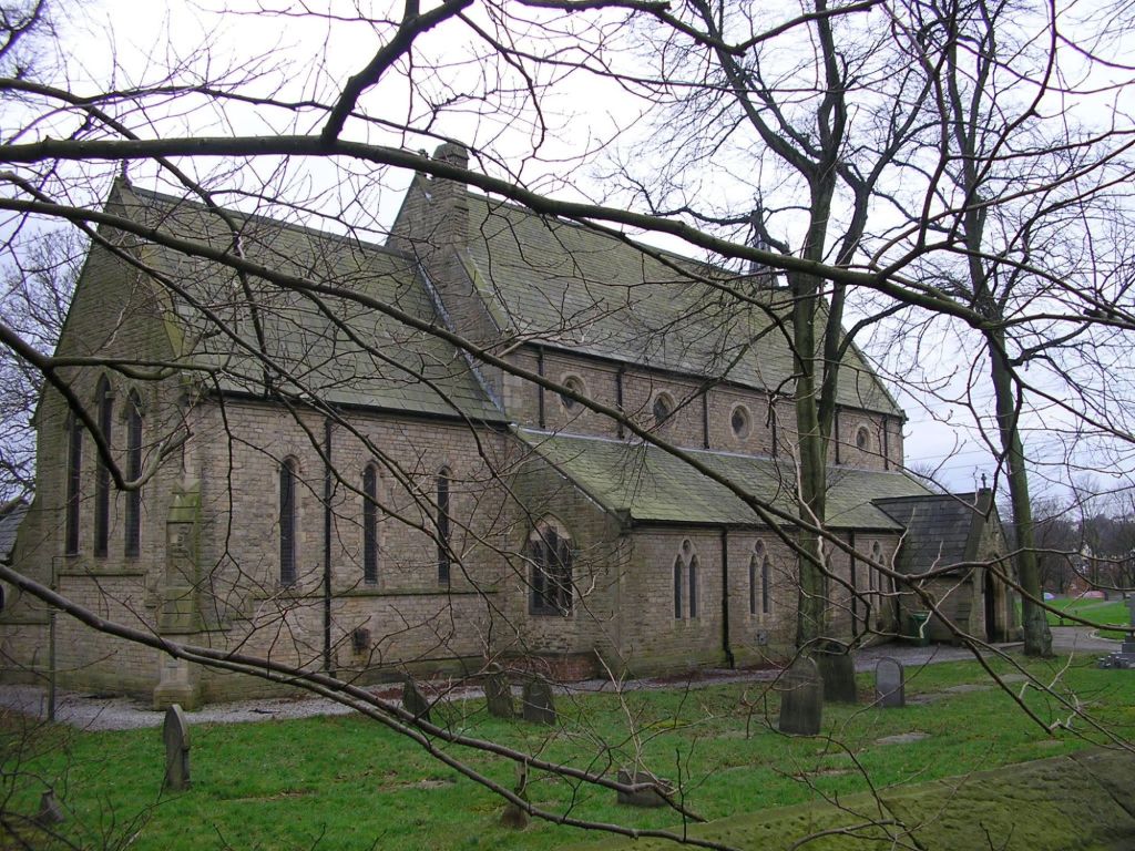
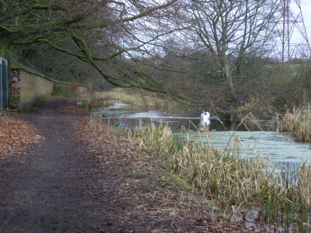
Check out the other picture in the link at the top of the posting to see more of the route, but from Mount Sion we walked below the village of a Little Lever, the informace breach of 1936 and down to Nob End. Yes, correct Nob End. The area in the mid 19th century was used to dump soda ash. Over the years nature has reclaimed this land and the area has become a SSSI. Beyond here we turn south towards Manchester, over Prestolee Aqueduct and onto the village do Ringley. The canal disappears at this point as much of the area has been developed in different ways, the canal has been either buried or lost completely. As we pass behind St Saviours Church you can see the edging stones for the canal.
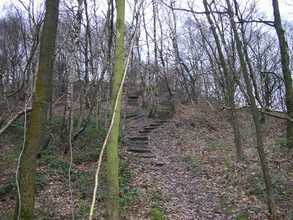
Just before we leave Ringley, as the canal continues we are diverting off and heading up into Ringley Woods to begin our circle back towards the start in Radcliffe via the former railway line.
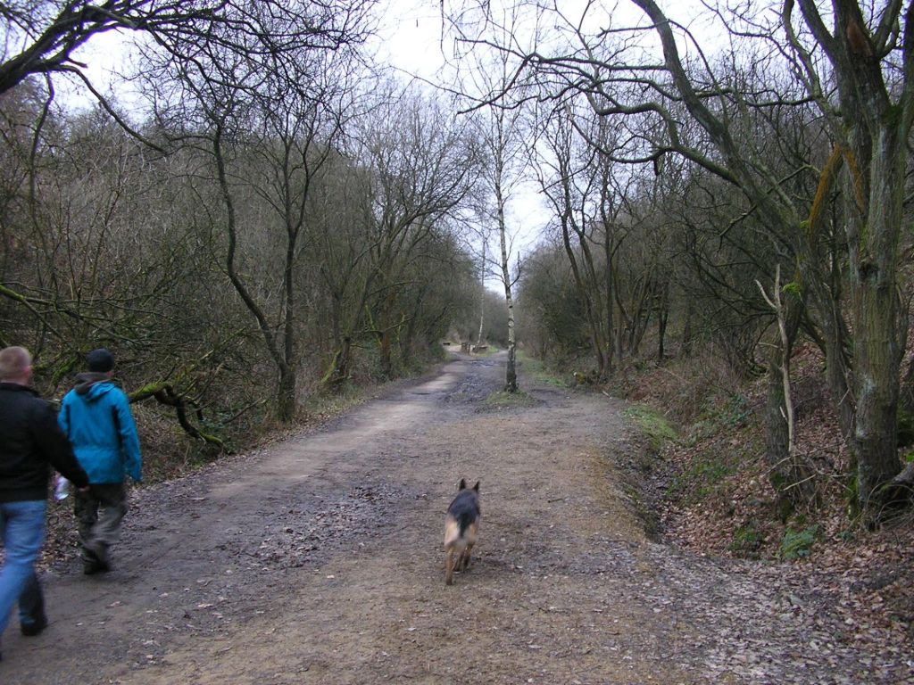
The final leg of our walk is a easy trek back along the former rail line from Clifton to Radcliffe, long since gone in the 1960s. Now the route of the rail line is a footpath, cycle and horseway for people to traverse. The thought trains would barrel down this stretch would have been an impressive site to see. But now trees line the sides and the odd snippet of history can be seen in the undergrowth like the station platform at Outwood, the bridge over the Irwell, which both features we saw on our return back to Radcliffe. Again this stretch of track I have walked and cycled many times in the youth and early twenties. Memories. The full photo album is at the top of the page.

Leave a comment