• Dumfries & Galloway 2008 : Day 5

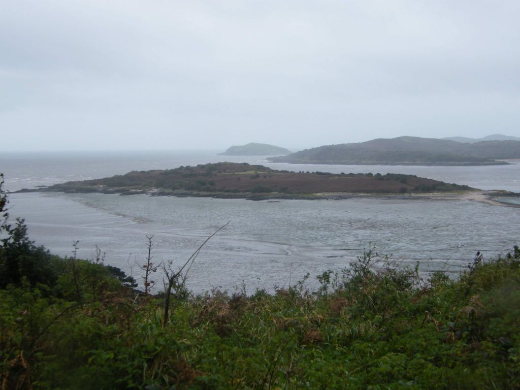
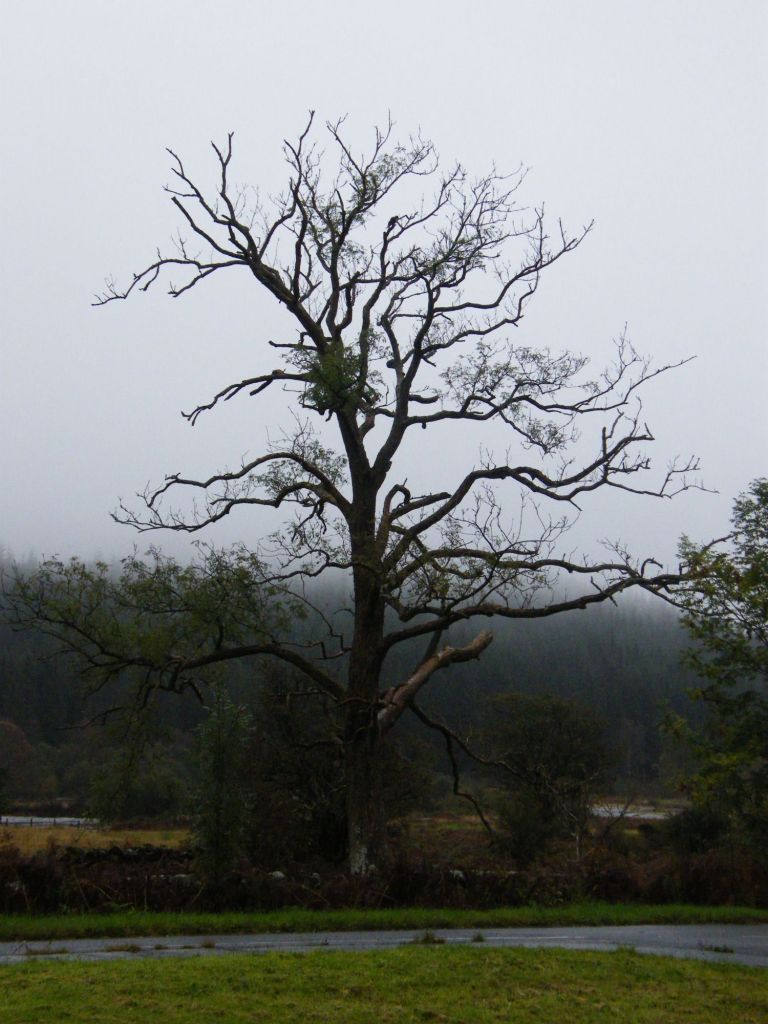
    Our last day in Dumfries and Galloway turned rather miserable with drizzly rain and low cloud. We left early

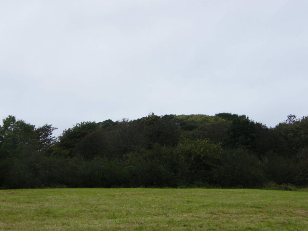
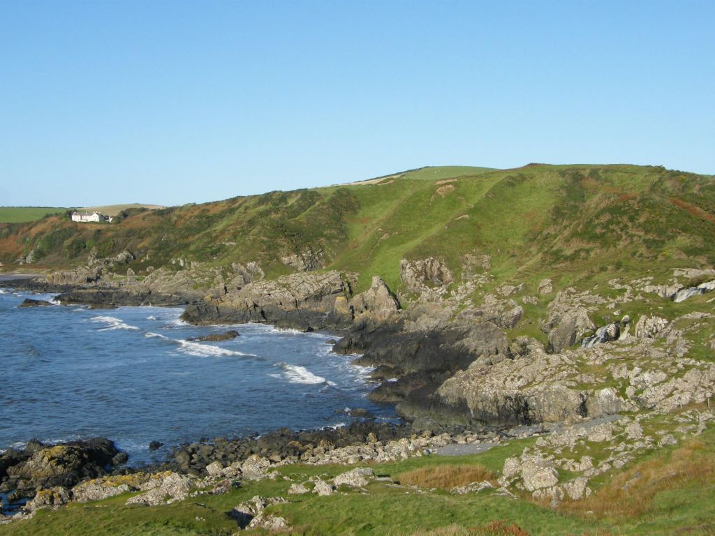
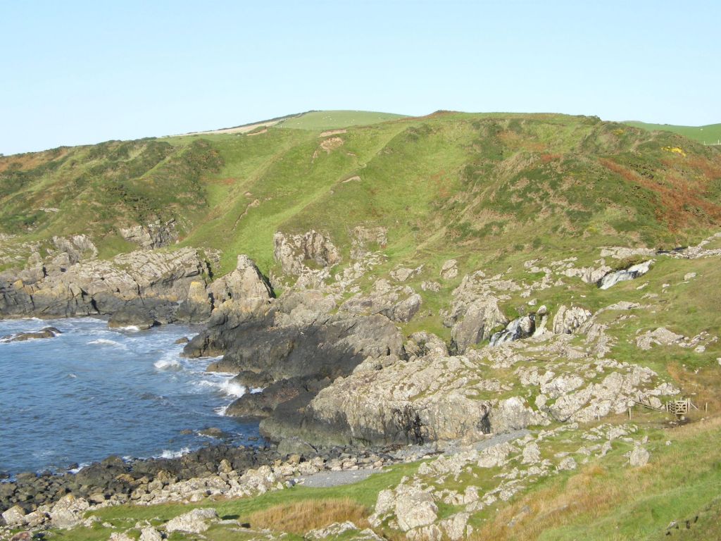
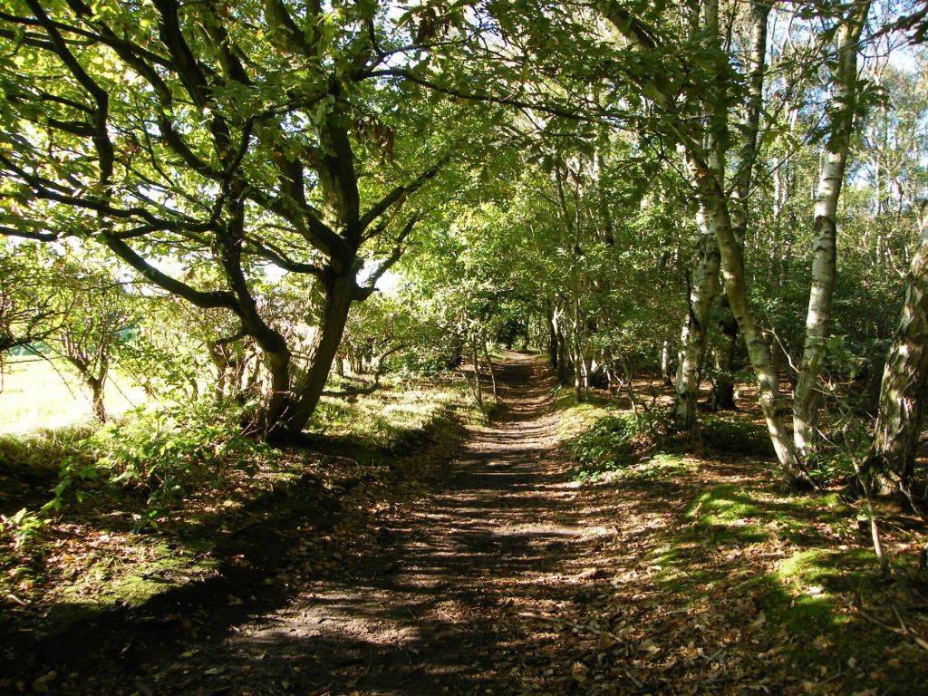
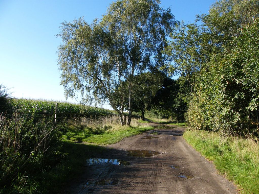
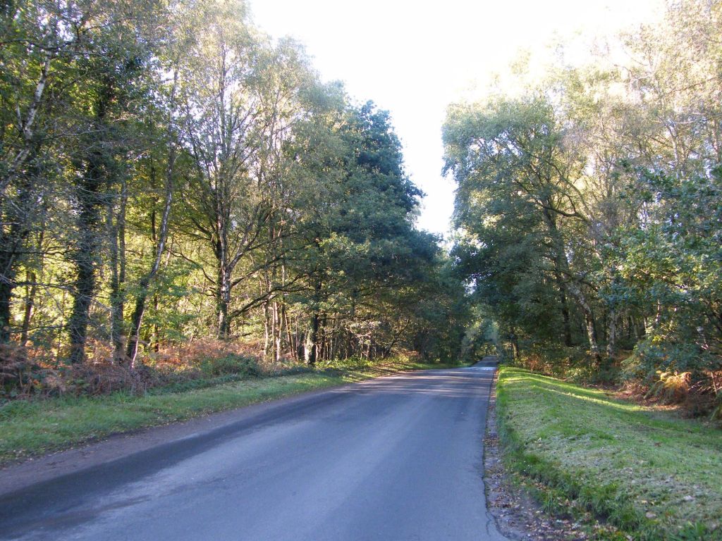
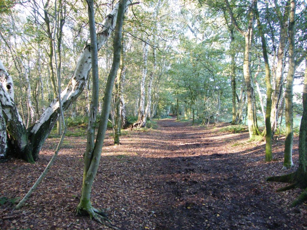
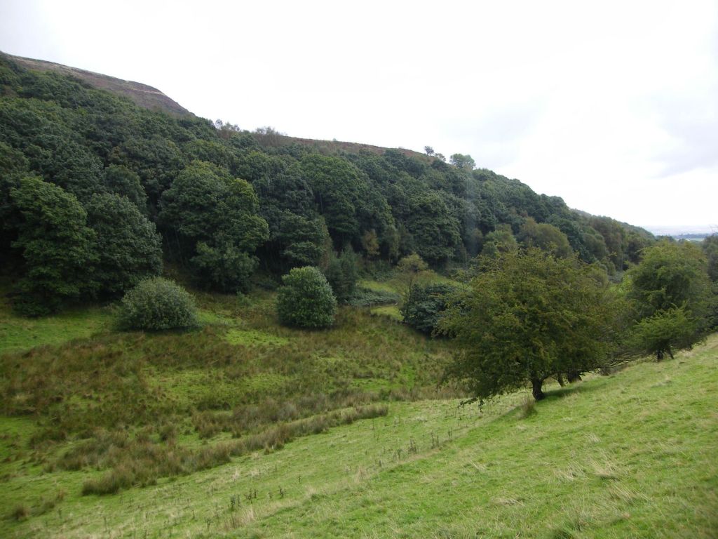
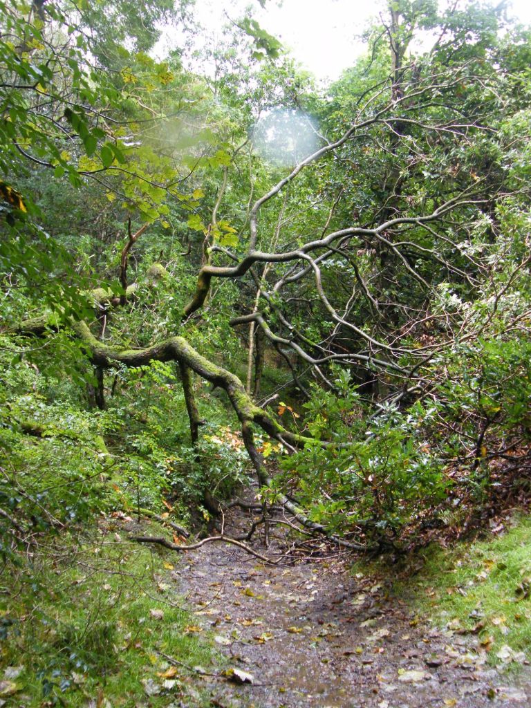
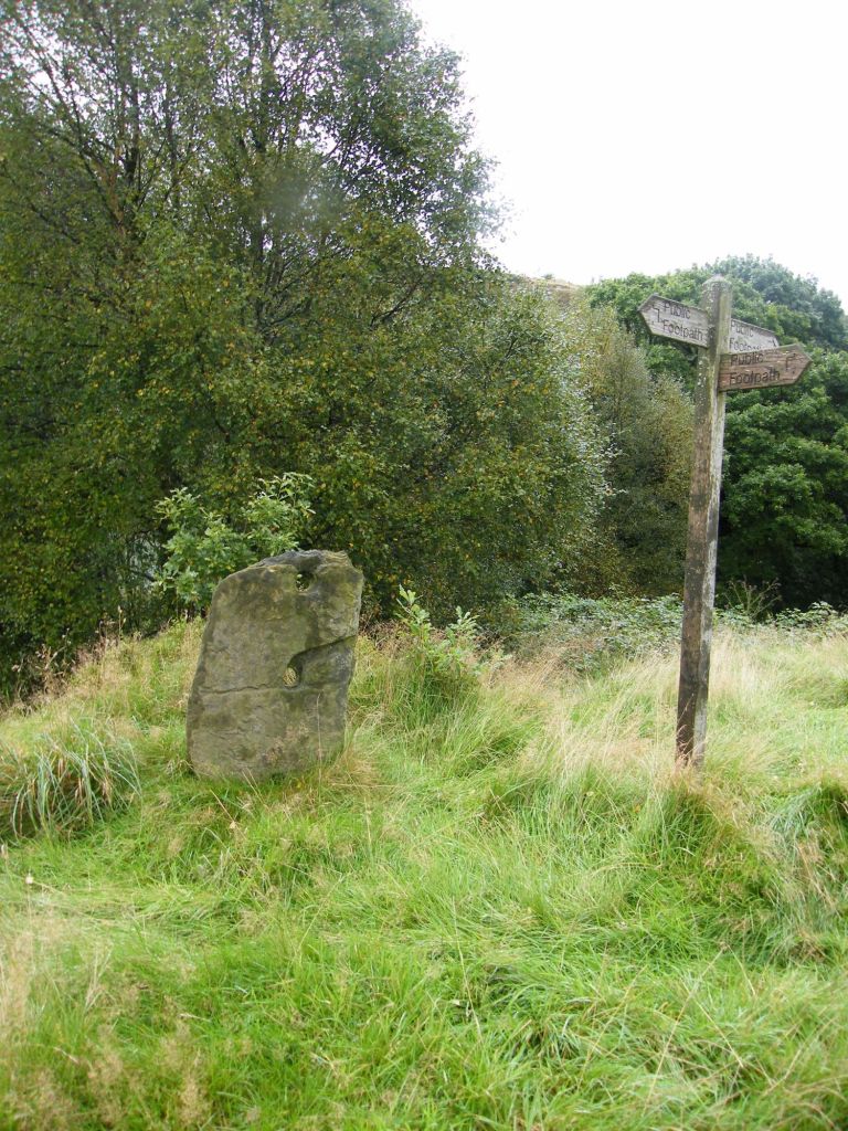
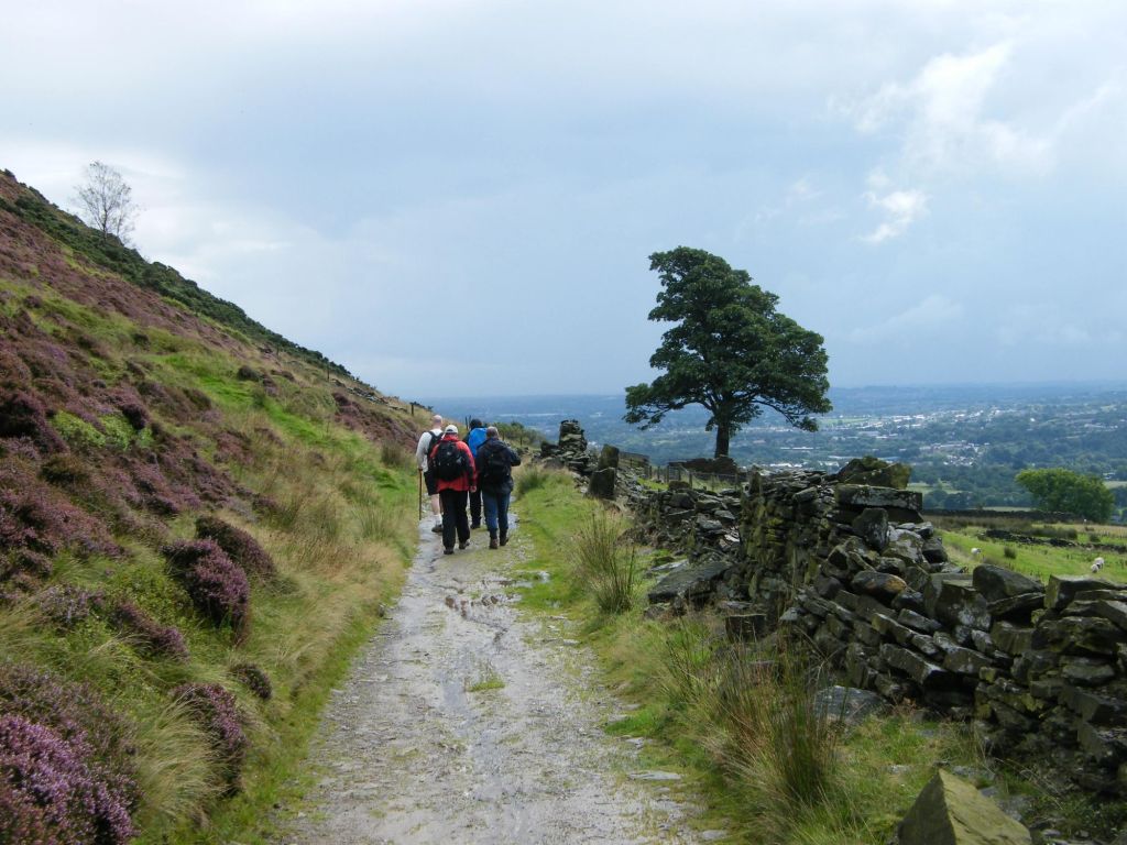
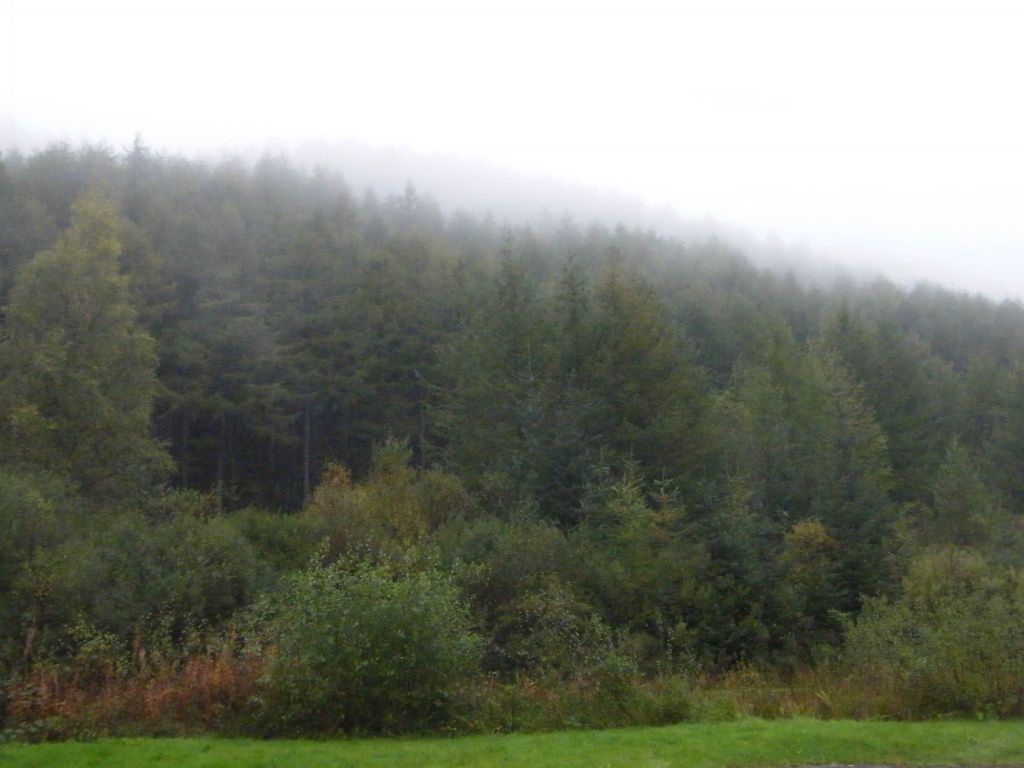
    We followed the A712 which will take us past Clatteringshaw Loch. Despite the mist and rain, we ventured into the Galloway wilds, forests of coniferous trees and moorland. It maybe have been miserable weather, but it was beautiful all the same. No where in Greater Manchester will you ever find places like this. The rolling lands are covered in coniferous trees and hardly a sole around. Peace and quiet for miles around.

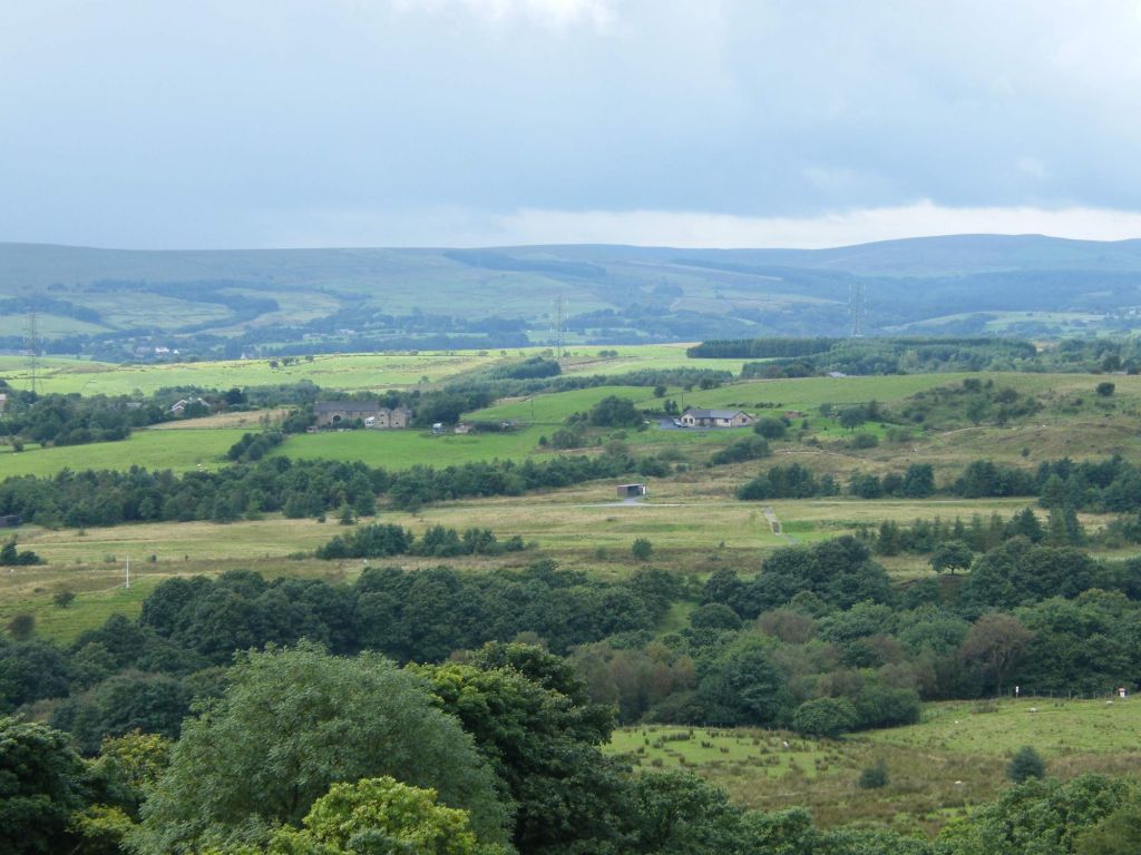
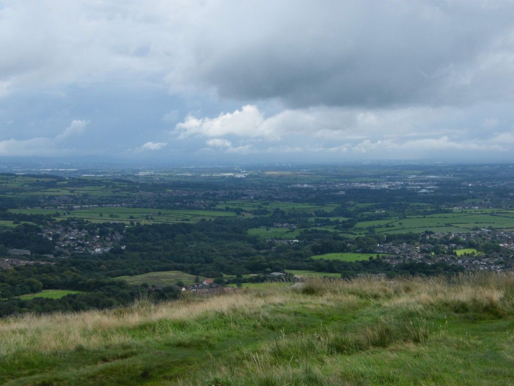
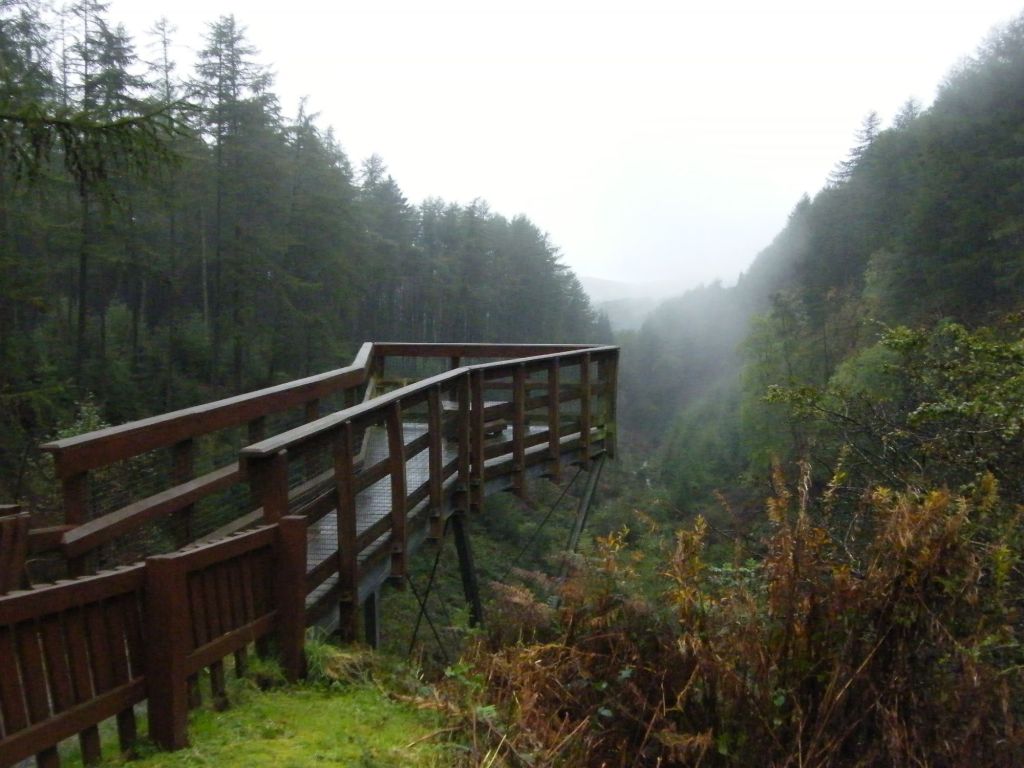
    We found an observation point which stood out along a valley floor, giving the views an vantage point to view the forest around.

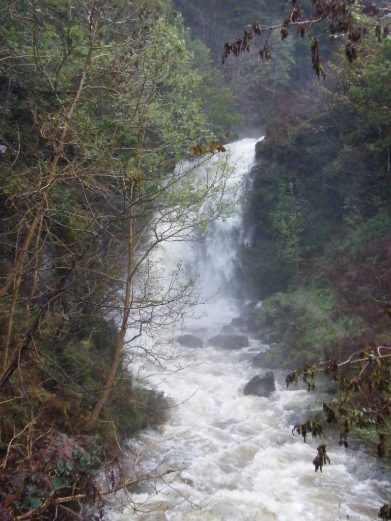
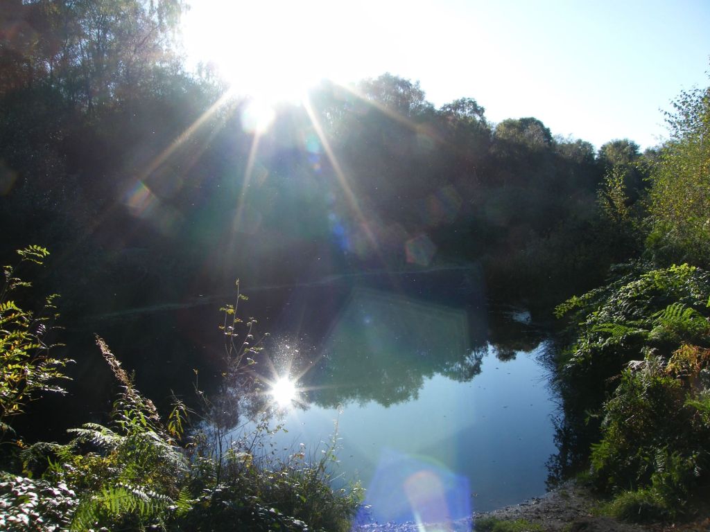
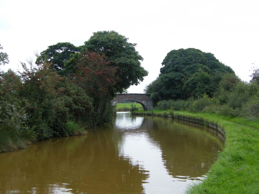
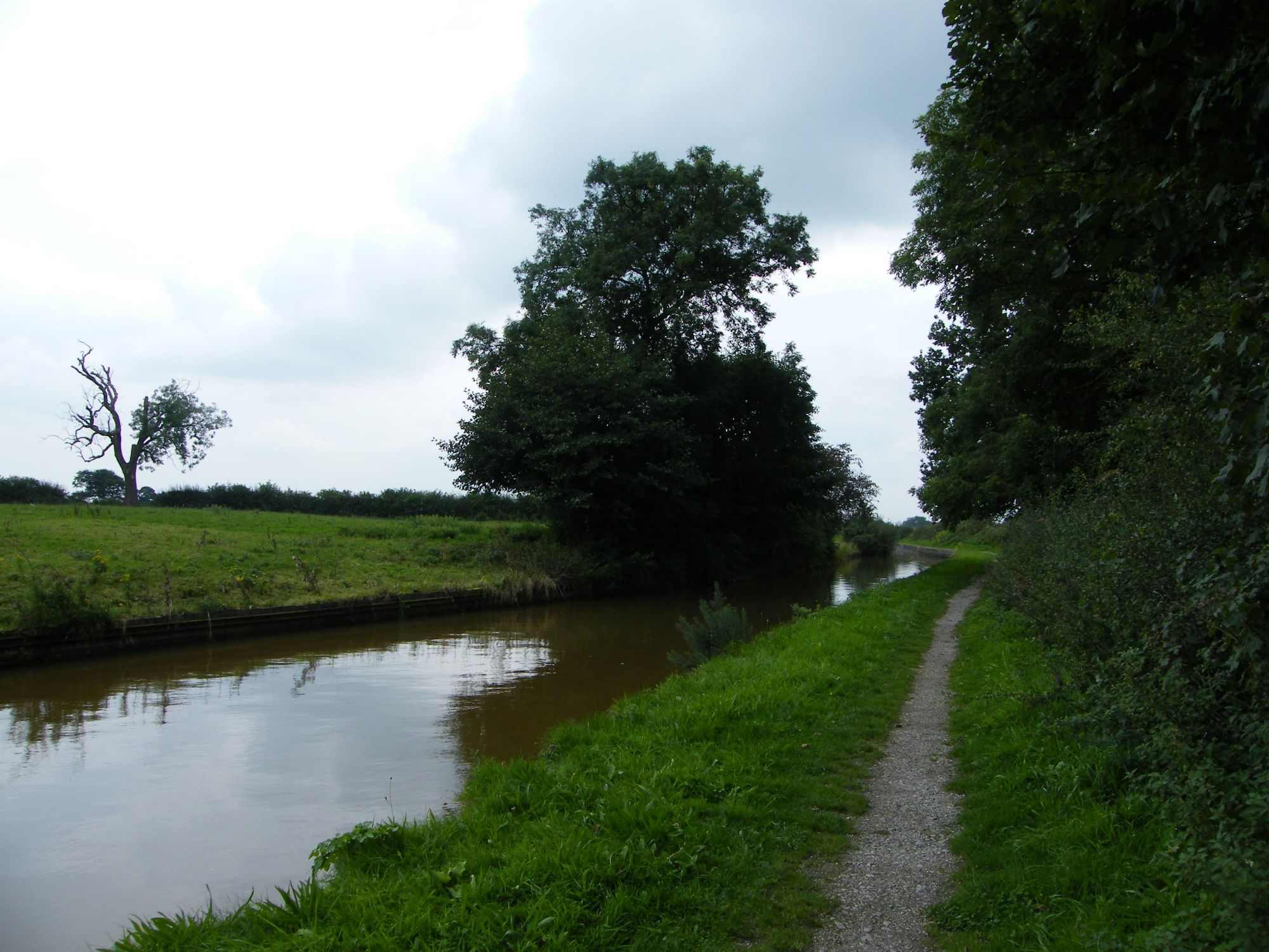
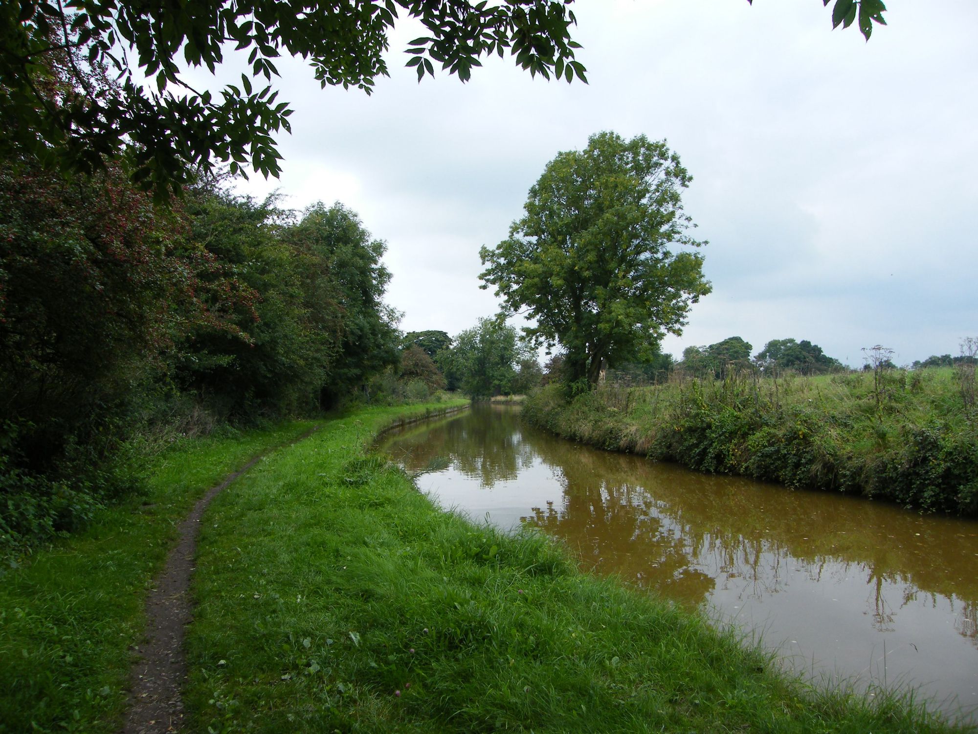
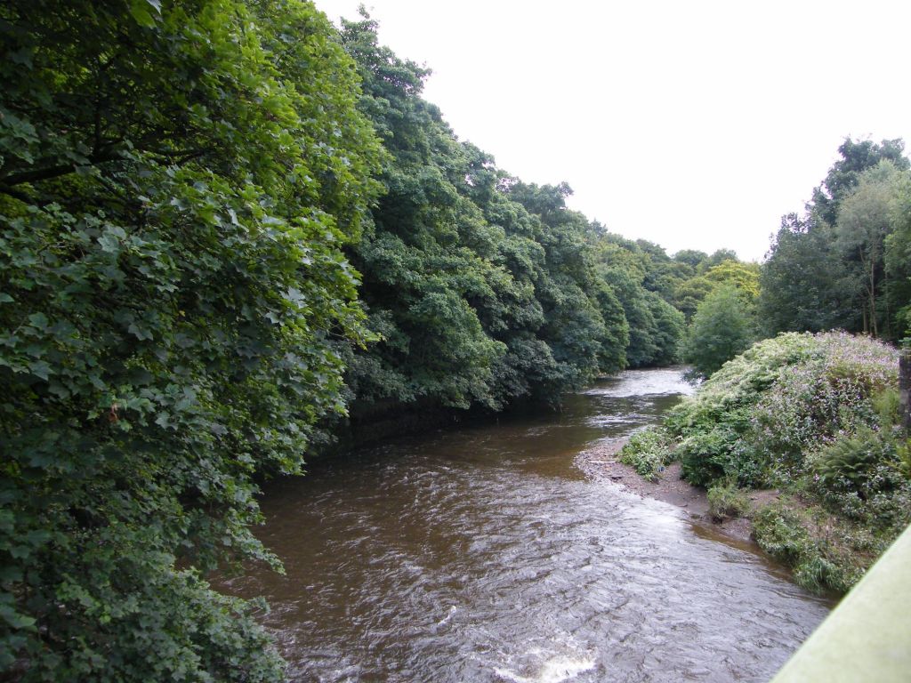
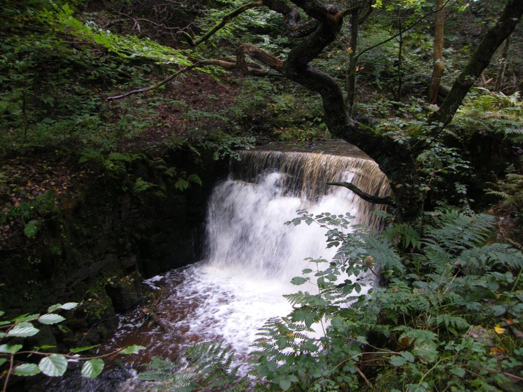
    Trees upon trees everywhere you look., streams and waterfalls, moorland an nature surrounds you. the odd car passed us by, but the journey leaving Dumfries was just as impressive as the few days we have spent in the beautiful part of Scotland. So much to see and do, landscapes to explore. We have only scratched the surface of this place.

    Clatteringshaws Dam

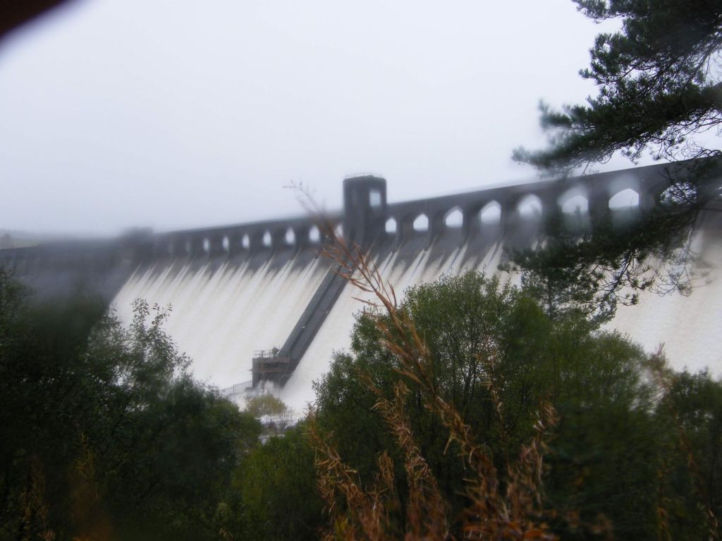
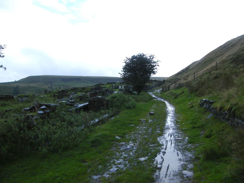
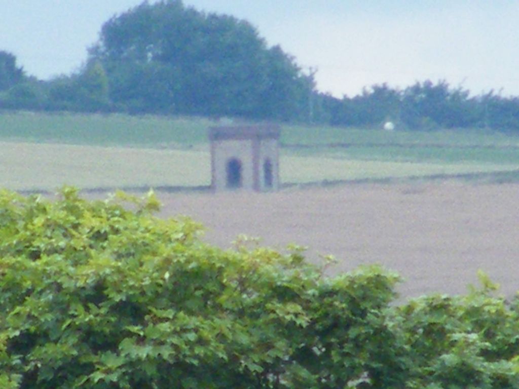
    The dam was the last thing we visited before we followed the road which eventually took us back to the A75 the main road across Dumfries and Galloway. The dam is an impressive feet of engineering, like all dams, but the few we have dotted around the West Pennine Moors are simple dams to hold back water. Here they made a feature of the dam. Apologise but the weather was bad, hence the fuzzy damp image.

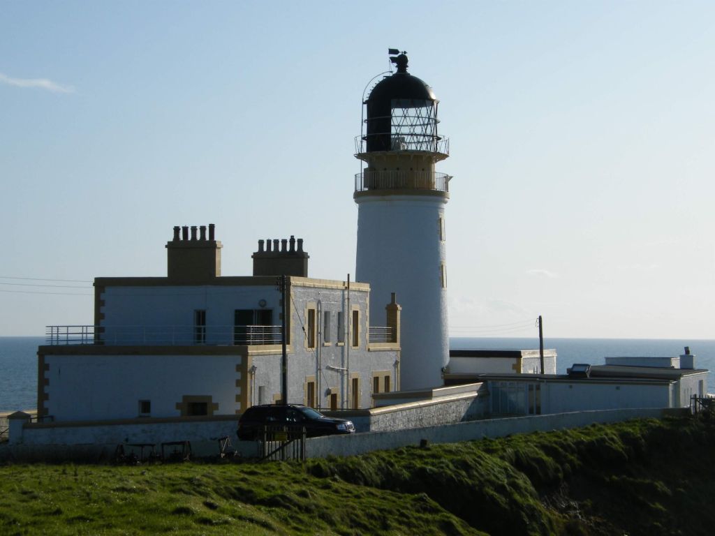
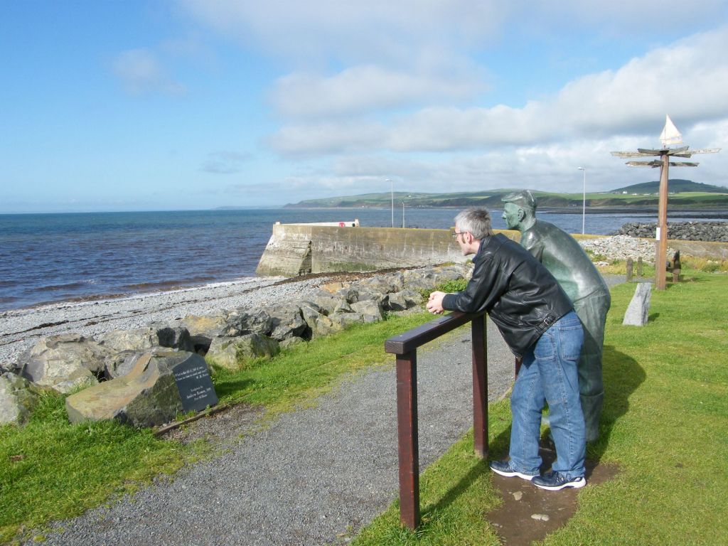
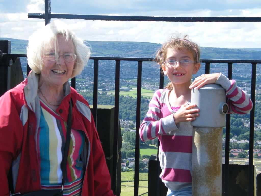
    As we draw our holiday to a close in Dumfries and Galloway, I will hold fond memories of my visit to this place. Our first holiday away together. exploring places never visited before, fascinating history and features. Certainly we will have to come back.

  • Dumfries & Galloway 2008 : Day 4

    Our fourth day in Dumfries and Galloway and the weather was not as bright as yesterday. Gloomy grey sky for us today. Well that’s not going to stop us getting out exploring so we are going to visit Kirkcudbright. Place not visited since my parents took me, 20 odd years ago more than likely.

    MacLellan’s Tower House

    Our focus was MacLellan’s Tower House in the town of Kirkcudbright. The L shaped castle was built in the 16th century by the MacLellan family. The site originally was a monastery. Only the chapel of which remains. It’s an impressive structure standing in the town of Kirkcudbright. We managed to visit and explore the castle and again all the photos are in the photo gallery at the top of the post.

    Dundrennan Abbey

    Next on our visit was Dundrennan Abbey. Down the coastline from Kirkcudbright going towards Dumfries, but along the A711, the Abbey is another impressive historical site of the area. The abbey dates back to 1142 by Fergus of Galloway, King David I of Scotland and monks from Rievaulx Abbey.

    As we explored the remains of the abbey, like Glenluce the other day, sometimes it odd to feel your walking around a place that was once occupied and has a religious significance to the people of this area. A piece of history lost, but the remains of the abbey allows us that glimpse into the past.

    Orchardton Tower

    We continued along the A117 to our next place for visit which is Orchardton Tower. Unlike most tower houses around Scotland and Northern England, this tower is round, not square or rectangle in shape.

    Motte of Mark

    Our final stop on today’s explore was Rockcliffe, a small village with a good few caravan parks in the area. The location of also home to the Motte of Mark. Sadly not named after my fella, but like the idea. It’s actually a 6th century hillfort rather than a motte and apparently is named after Mark, King of Dumnonia, the aggrieved husband in the Arthurian legend of Tristan and Iseult.

    Camel island which lies just off the shoreline, is home to various seabirds that use the local waters for food and nest on the island away from predators.

  • Dumfries & Galloway 2008 – Day 3

    Day two of our visit onto Dumfries and Galloway and we headed out to Drumtroddan, which is on the Wigtown Peninsula where we are staying to find the cup and ring rocks. Anywhere between 3-5,000 years old, who made these marks, for what purpose unknown. But they are found all over the place in this region of Scotland. There are standing stones nearby which could have a significance.

    Drumtroddan Cup and Ring Marks

    The history of Scotland is just as wild, fascinating and mysterious as in England and Wales and a lot of the bit of history are just even today are unknown which does make history fascinating as we don’t know all the answers. These rocks I have never seen before. Never on my travels with my parents or until I met Mark. Already I have started seeing things I have never seen before.

    Druchtag Motte

    Mottes are a common site in England. But again until I met Mark never actually visited one. This is one of the largest I think we have encountered. Not in size, but in steepness. As you can see from the picture, we had to use the rope provided to assist on reaching the top. These Anglo Saxon timber castles would have been an interesting site on the landscape and intimidating as well to your enemies.

    Glenluce Abbey

    From the motte, we also visited St Finians Chapel, which is on the west coast line before reaching Glenluce Abbey. The abbey was founded around 1190 by Rolland or Lochlann, Lord of Galloway. I have visited a few abbeys, not many, Bolton Abbey in Yorkshire on a school trip. But this was my first abbey with Mark.

    Killantringan Bay

    After the abbey we headed further West, all the way to Port Patrick. Beyond is the Irish Sea. We stopped at Killantringan Bay which has a lighthouse on one of the peninsulas of land that stick out around the bay. We saw several birds, sparrows, dunnock and some finches, the area was very pretty and relaxing. The sea on the rocks of the bay, the countryside and coastline stretching out. The end of Dumfries and Galloway, Ireland laying across the water.

    Port Patrick

    Our last port of call was Porr Patrick which lies just further down the coast from the bay. A pretty town, along the coast, quiet, not to busy and pleasant place to walks long the harbour and listen to seagulls.

  • Dumfries & Galloway 2008 – Day 1 & 2

    Oh this is exciting!

    I have not been to Dumfries & Galloway in years.  Not since I was a child.  Our first holiday away together and we get to explore one of Marks most favorite places in this country.  I loved this holiday so much. 

    Fond memories of our exploring.

    Cairnholy Chambered Cairn 2

    So we drove up from Cheshire, booking into a small b&b cottage run by two gay guys in the Wigtown Peninsula. On the way we stopped off at Cairnholy, two burial chambers up on a hillside nor far down Kirkcudbright, one of the places I am sure mum and dad used to take me when I was a child. It’s next to a farm but they are well preserved and impressive with their atmospheric moorlands behind a view over the Wigtown Bay.

    Cairnholy Chambered Cairn 1

    Cairnholy Burial Chambers have a fascinating location on the hillside and several cup and ring mark rocks can be found in the area and also Kirkdale Church which is no longer used. We didn’t visit that on this visit as once we have visited the chambers we carried on to our accommodation.  More exploring on the next day.

    Torhouse Stone Circle

    So it’s our second day in Scotland. Odd to do some exploring. So we ventured down the road from our B&B and found this, Torhouse Stone Circle. So our first stone circle to find in Scotland. Quite nice to seez love the whole neolithic sites as they are part of long past and pagan routes, lots of mysterious surround them. This one is said that the centre stones hold the grave site of Galdus a mythical Scottish king.

    St Ninian’s Chapel

    From Torhouse, we went south towards Wigtown, as our aim was to visit Isle of Whithorn as there a few historical sites to see. The first we saw was St Ninian’s Chapel. Out on the peninsula this small ruined chapel dates back to the 13th century. It was a lovely spot next to the sea, the waves, even watched a small boat which was likely our catching fish in tej sea.

    Whithorn Priory

    We went inland a little bit to Whithorn village where we had a wonderful round. It was a quiet village, way down on the peninsula. Where as people visiting this area go to Wigtown (book town) a few miles away, Whithorn maybe gets a little over looked. Not sure but it was quiet and that was nice. The harbour had a few boats in, nothing much happening and then we walked to the priory. Whithorn Priory, is not as big as impressive as some like Fountains Abbey in Yorkshire. But this abbey, small, but well preserved and again plenty to read about it. We didn’t spend too long looking around, quick nosy and we went around the village next.

    Please have a look at the gallery at the top of the post as the photo gallery has a lot more photos of the places we visit and I have hyperlinked to information online about some of the places.

    Isle of Whithorn Harbour
    Port Patrick

    Our last port of call after Port Patrick, a small village on the Eastside of the Wigtown Peninsula. Looking out to see, this small village like so many places we visited on this holiday was not over stayed, peaceful and not over crowded with people. It makes these places great to visit as you’re not jostled or feel in a rush. You can simply take your time to explore the location and its features. I really liked Port Patrick and the sign with all the different locations was an interesting feature in itself.

  • Little Budworrh

    Glorious day, blue sky so me and mark had a trio out to Little Budworrh Country Park which is just near Oulton Park. Another place never been before but we had a walk around the country park, still quiet green, but autumn colours starting to creep in. Really lovely place to visit.

    Found mushrooms some butterflies by a pond, nature all dotted around in places. Colours and a nice warm day to visit the country park.

    Towards the end of the walk we found this strange sculpture. No idea what it is for or who carved it, but an intriguing feature. Man of the woods or Ent, not sure, but worth taking a picture of.

    I found the area delightful, not far off A49, near Oulton Park. Good view walks round the area for future visits.

  • Wheelock Way

    Another walk and I will be writing this after the time I did the walk, so much of the route I have forgotten. It was an autumn walk at Wheelock, the route following the course of the canal for the locks and then coming back via the old railway line. We got to see a couple of boats on the canal and one actually going through the locks which I had never actually seen done before, so rather interesting. Some photos of the walk we did are below. The rest in the link above.

    Wheelock Methodist Church
    Trent and Mersey Canal
    Wheelock Locks
    Former railway line
  • Out Walk : Ramsbottom & Peel Tower

    Our latest our walk as up at Ramsbottom, a town visited a few times over the years, my ex lived there, done a few walks and town centre not to bad. We were to do a circular walk starting at the train station, circle the town by the river Irwell and up to Peel Tower.

    Ramsbottom Railway Staion

    Starting at the railway station in Ramsbottom, the station is one of a few along the East Lancashire Railway, which is a steam train running from Bury to Rawtenstall. Teh line originally would have connected Ramsbottom to the main railway network at Bury, linking off to Haslingden and Blackburn to the west and a line running through the Rossendale valley to Bacup and down to Whitworth and Rochdale eventually. Only the Ramsbottom section remains as a steam railway for tourists.

    River Irwell

    Living the town beyond we headed east and then south passing the Nuttall Park and over the river Irwell towards Brooksbottom. The trackways we followed was cobbled in places, possible meaning of was an old route used by works from local villages to access the mills that once stood in Ramsbottom. As the land rises at this point, through the trees we could see the  Betam Tower in Manchester.

    We didn’t actually reach Brooksbottom itself, our route skirted away from the village towards the main road into Ramsbottom and crossed over into Redisher Woods. We worked our way up through the woodland towards Holcombe Hill, at one point the path being blocked by a fallen tree. But we got past it.

    Our pathway skirted the edge of Holcombe Hill which rises to the left of the picture above hiding the town of Ramsbottom. The sky has become grey and the threat of rain was in the air. But we pushed on to reach our goal which was Peel Tower.

    Emerging onto Moorbottom Road, which runs the west side of Holcombe Hills the heavens did open and it meant part of route was going to be wet and muddy. The view over the valley where the Krypton Factor was filmed was gained, a rifle range at present. The remains of a farm can be found here on the trackways, long lost to history. We follow the road round before ascending up to the tower.

    Peel Tower

    Peel Tower, is so named after Sir Robert Peel, the man who created the modern day policeman and police force. The Tower was built in 1852. On the opposite side of the valley is Grants Tower, now a ruin which was built by the Grant brothers in 1829.

    View towards Manchester

    We were not able to access the tower itself, but even from the hill itself you can gain some great panoramic views across North Manchester.

    Carr Barn Wood

    The final leg of the walks we walked a little over the hill looking back into the valley, Ramsbottom below, before going down the side of the hill, through Carr Barn Wood back to the start near the railway station. It was a lovely walk, getting to explore footpaths and areas aware of or not visited before.

  • Out Walk : Lymm to Dunham Massey

    A glorious sunny day and well worth a walk. The next out walk I organised was along the former railway line between Lymm and Dunham Massey with a return along the canal.

    Starting in the picturesque village (town) of Lymm, we crossed the canal before we started. So we will return to this point at the end of the walk to find a decent pub for a drink.

    From here we walked down through the village to join the former railway line which ran out of Altrincham into Warrington. It now comes part of the Trans Pennine Trail. We are only going to walk a small part of the line towards Dunham Massey.

    One of the benefits of such walks, unlike Winter Hill, which was an uphill walk, canal and rail-line walks are relatively flat which can be quite nice. Also this walk meant we had pleasant fields to walk past. It was muddy in parts, as the footpath is just a mud track. Luckily being August was a benefit as winter this walk could have been a rather muddier walk.

    Dunham Massey Station House

    The station house stands along the former railway line not far from where we were to come off the railway. It is one of those features you find on old railway lines, old station houses, platforms remnants of a forgotten last. Some such structures are often completely removed. This station house luckily has been converted into a home.

    On reaching Durham, we left the railway line and joined the canal, the Bridgwater Canal. We walked a small section of the canal last year on the Dunham Massey Walk. On this walk we will be walking in the opposite direction back towards Lymm.

    The rest of the walk was an easy wonder back along the canal to Lymm. Seeing the crane and old mill building and a few bridges as we worked away back to the start and done a pub.

    The area around Lymm, despite the hum of two motorways in the distance, is a pleasant area to walk. Nice easy walk to undertake with viewed features and food company. On in all a good walk. All the photos are in the link at the top of the post.

  • Trip to Shepley

    Day visit to Shepley to go and see my aunty Jean. Sun was out and never seen Victoria Towers so me and Mark, my aunty Jean, Geoff and second cousin Sam headed towards Huddersfield to walk up to the tower.

    Victoria Tower

    The tower sits on a hill not far from Longley in Huddersfield, south of the town. It is quite a prominent creature in the area and like the mat on Emley Moor, can be seen for miles around. The five of us spent part of the afternoon, wandering around the hill, we got to go into the tower which was a bonus. We also gained some views over the land around, like the one below or Huddersfield.

    View of Huddersfield
    Aunty Jean and second cousin Sam

    Victoria Tower is named of course in celebration of Queen Victoria. Built in 1897 for her Diamond Jubilee. The tower was opened by the Earl of Scarborough in 1899. It said that not long after opening a death occurred when a man fell from the top of the tower, suicide was not suspected. During World War 2, it was suggested the tower be demolished to prevent German bombers using it as a navigation tool.

    There were other buildings upon the site, with a hotel nearby and also anti-aircraft batteries. Little remains of these structures today. The Tower actually sits on Castle Hill, which is named such due to the fact a motte and bailey once stood upon the hill, a prominent point for such a feature and in iron age times the hill was an iron age fort.  Over all the hill has had a long history.

    Emley Moor Mast

    After our visit to Jubilee Towers we returned to aunty Jeans for tea and went for a walk up to the wood at the top of the field. A short walk beyond and you get to see the fields beyond and looking back, can see over towards Emely Moor Mast.

  • Manchester Airport

    For airplane enthusiasts these photos will be great to see as will the album. I am not a plane enthusiast, but did find it fascinating being so close to the planes and watching them for a while.

    Having come from north Manchester where the odd plane flew over and having only been on 2 planes in my life when I went to Zante with my friend Louise when I was 23-24 I think. Not been around planes much so spending an afternoon watching them was interesting. The results of which can be found in the album link above.

Design a site like this with WordPress.com
Get started