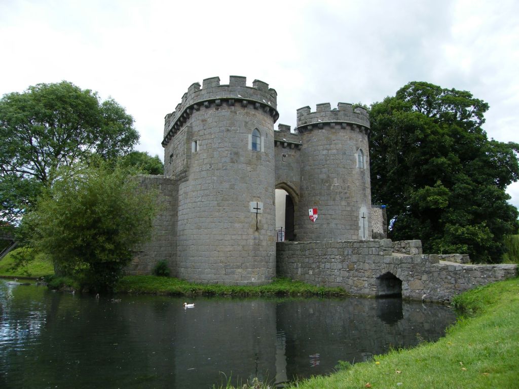
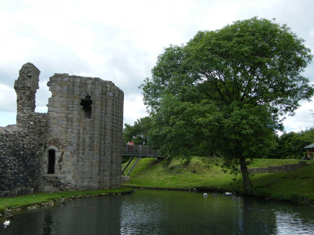
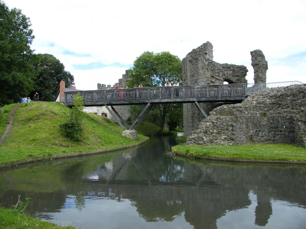
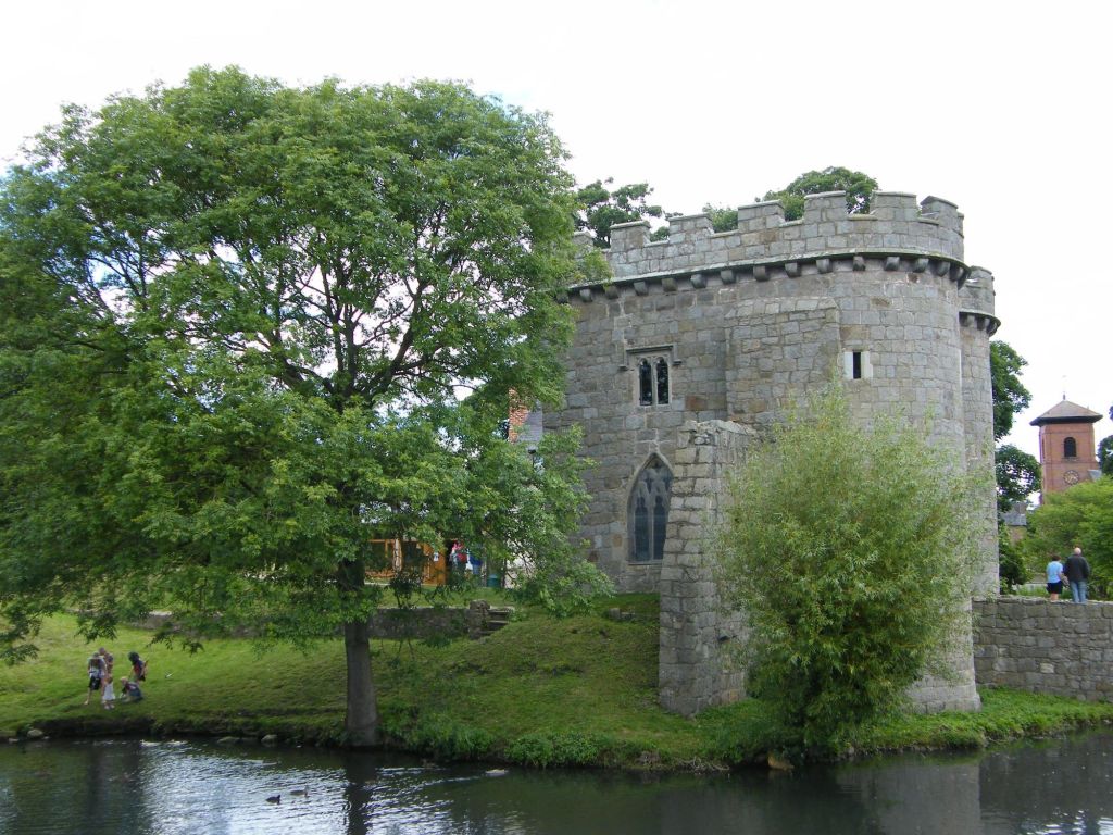
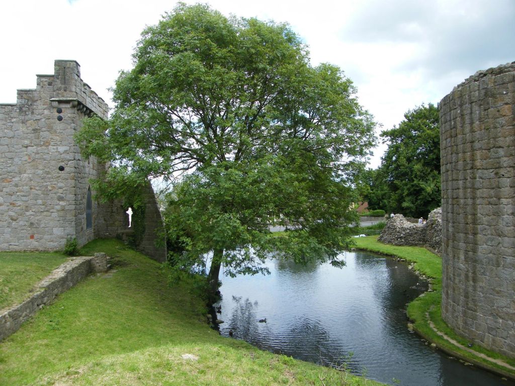
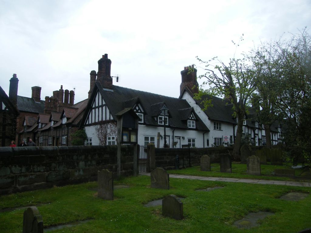
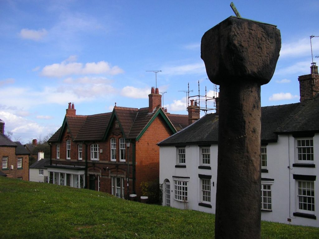
If anyone knows me well enough, they know I have a passion for castles and historic places. As a child I was often taken to castles and historic places by my mum and dad. So Whittington Castle was on the way too Llansilin so a day visit out included a explore of this castle on the edge of the welsh/english border before venturing to Llansilin to see friends and another walk around the valley.
The castle might have been a manor house at one time, but by 1138 it was fortified for William Percival. The castle’s history is varied and being on the Welsh/English border was an import location and valued structure. It past hands and owned and used by varying people in power. Today in a small village in England, Whittington is a lovely spot to explore.
Llansilin
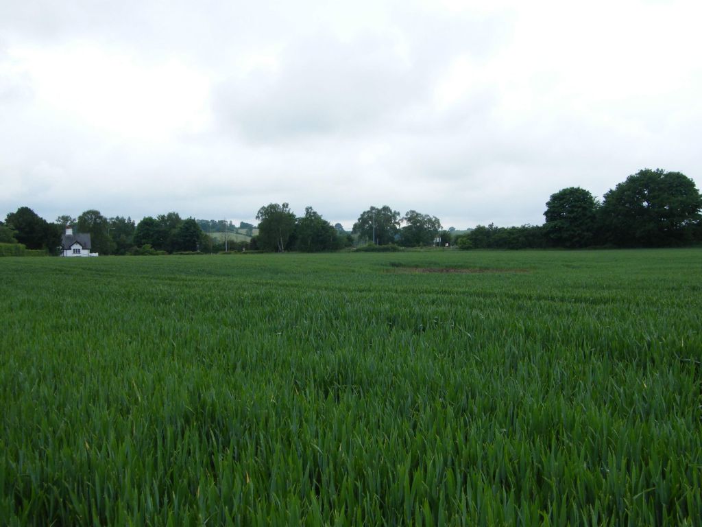
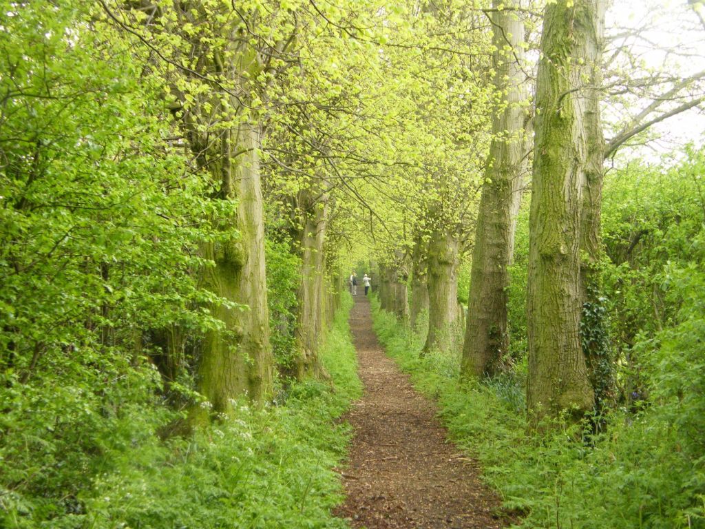
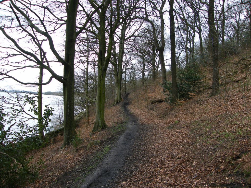
Once we had explored Whittington Castle, which I enjoyed so much being a huge fan of castles, we paid a visit to mark’s friends in Llansilin and had a walk across the fields, sliding the bird and landscape. The horrors weather was an added bonus to the day.
We visited Llansilin a few months back and had a pleasant walk out then. April 08. July is much different at we had nice weather and the trees were in full leaf.
This I think might be one of the furthest walks the out walkers have done with me, especially since moving to Cheshire as well. So sometime back I did a walk along the Rochdale Canal from Manchester to Mills Hill. I did this on my own. This bit of the Rochdale Canal is right up in the Calderdale valley at Todmorden. The first leg of the walk is to reach Stoodley Pike and then down to the canal.
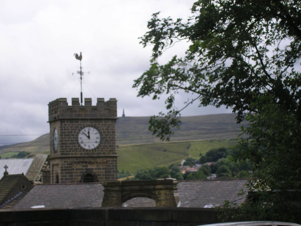
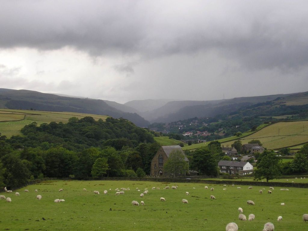
The walk started in Todmorden. Beyond the clock tower you can see Stoodley Pike our destination today. A circular walk which will take us up to the monument via Lumb Butts and the back down along the Rochdale Canal.
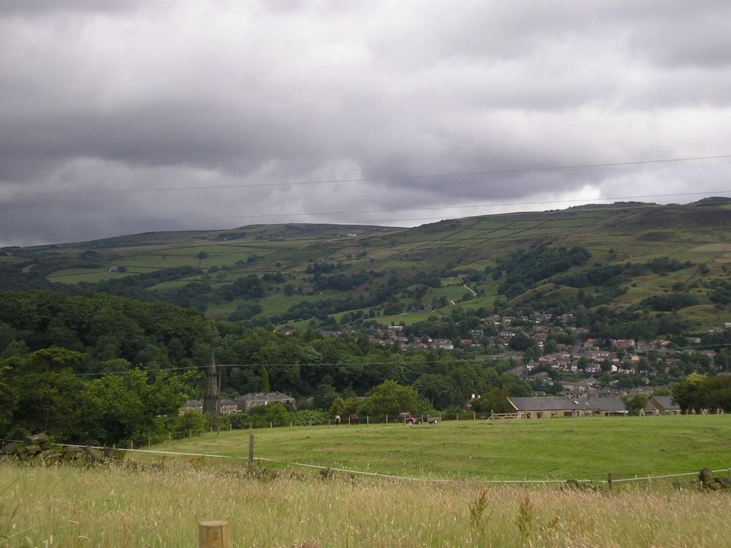
As we ascend the hills out of the valley floor, we get to see, even on a cloudy day as this, the stunning countryside that makes up the Calder Valley. Rolling hills and pockets farms along the hillside of the valley, the canal and railway running through the valley floor.
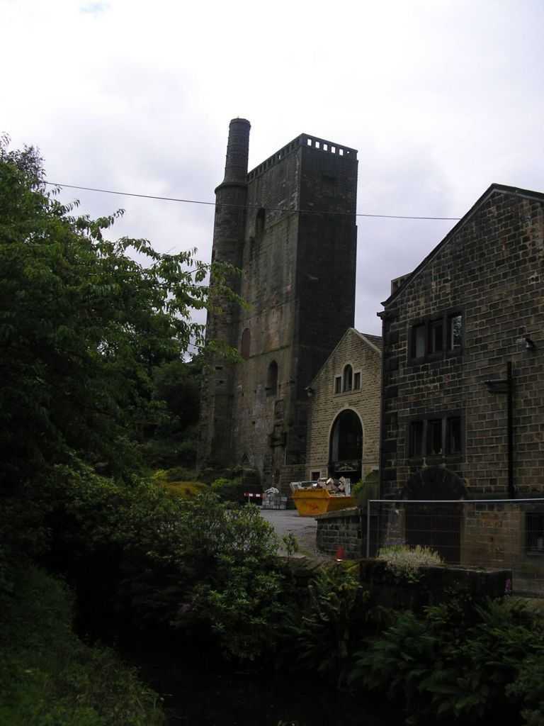
Lumbutts Mill
As we pass our way through Lumbutts, we see the mill, which appears to be under some renovation work. The tall building with the chimney is the water tower for the mill. Lumbutts Old Mill closed in 1926, and was later used as a government storage location during the Second World War. After the war, the main mill building was demolished.
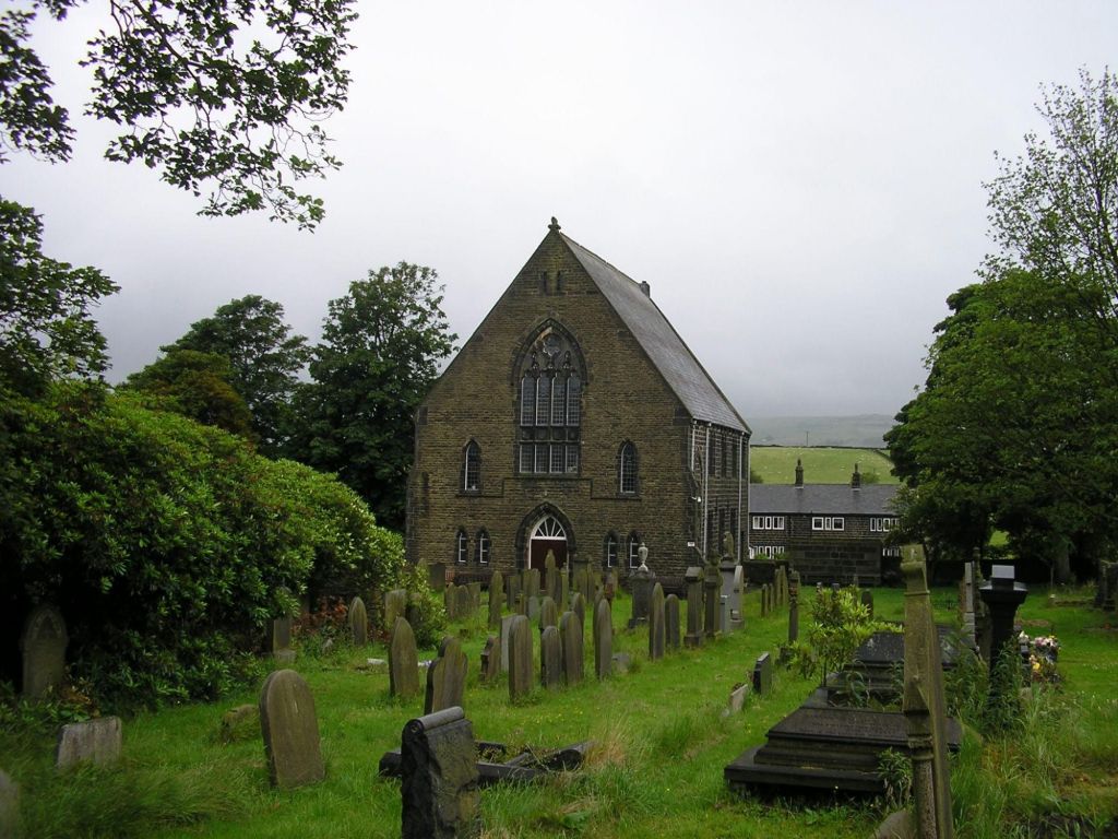
Lumbutts Methodist Church
Passing Lumbutts village we continued to ascend up the hill, looking back over the valley, the chapel we passed in view, rain beyond. Hope that isn’t coming this way.
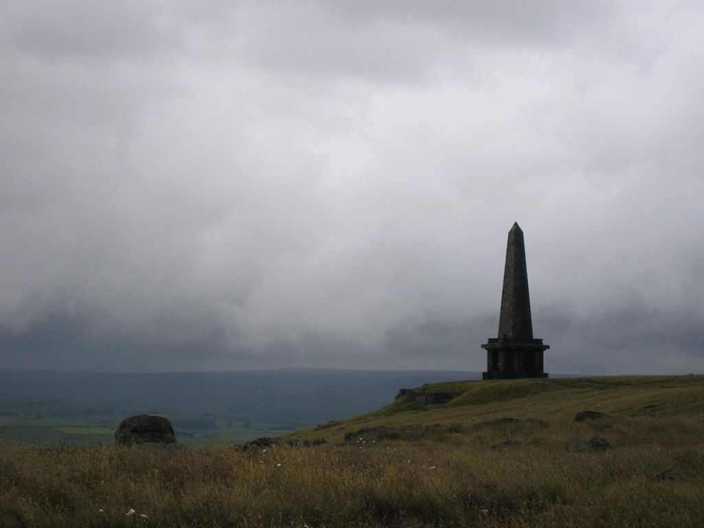
Stoodley Pike
Built around 1815, the monument commemorates the defeat of Napoleon and the surrender of Paris. It is believed an early structure occupied the site.
Again it looks gloomy over those hills but as we walked towards the monument impressive views are gained across the Calderdale Valley. We had our lunch at the monument before making our way back down into the valley and work our way along the canal.
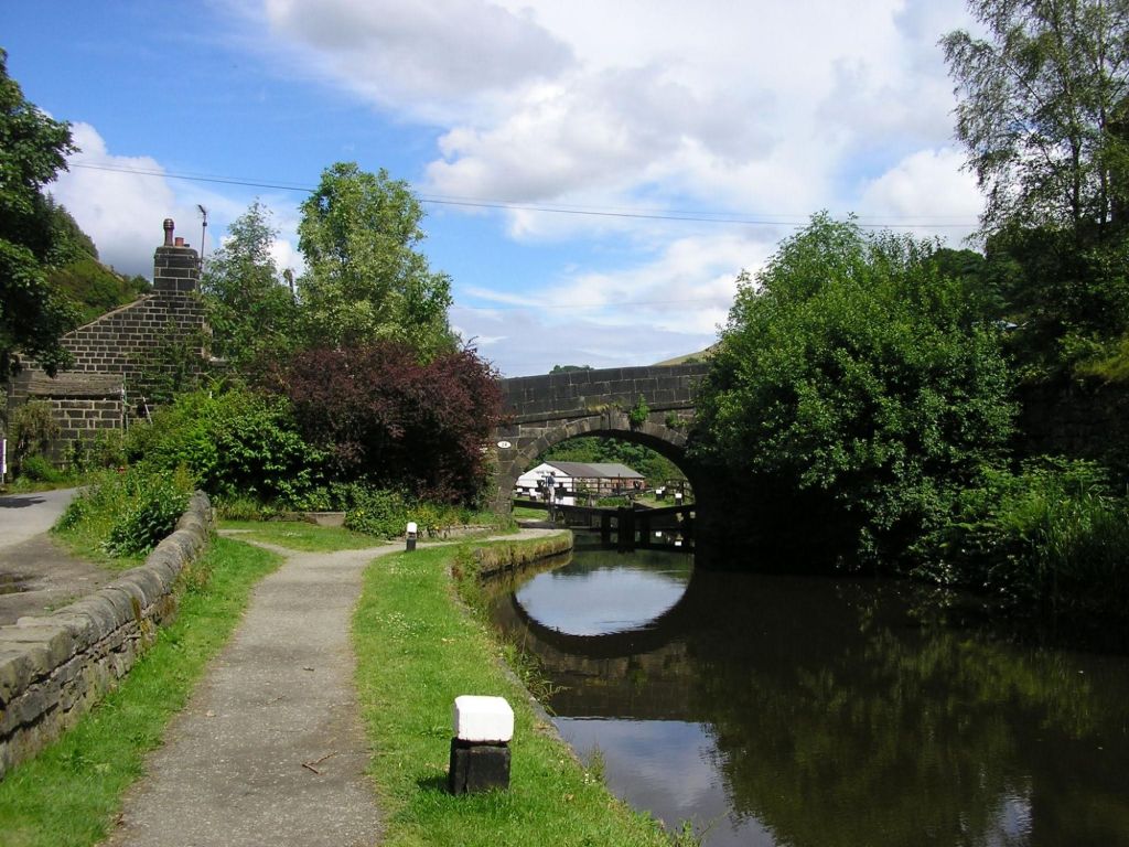
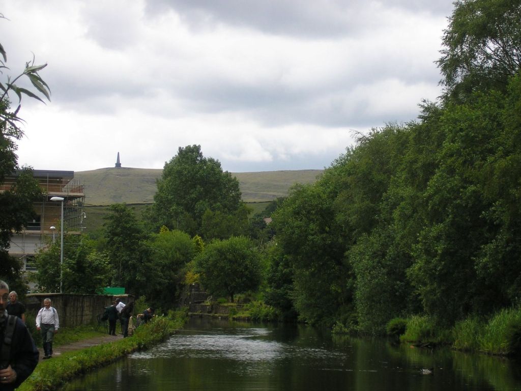
Rochdale Canal
On reaching the canal we had a nice a flat work for the rest of the way to Todmorden. The sun even came out and blue skies appeared making the fisk stretch of walk rather pleasant.
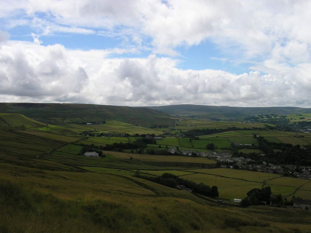
When looking at this final picture you can see Stoodley Pike in the background and just release the distance we covered and height as well. Great walk, very different from recent walks and a place never been to but worth visiting. Lots of walks in this area so maybe more exploring is needed in the future.
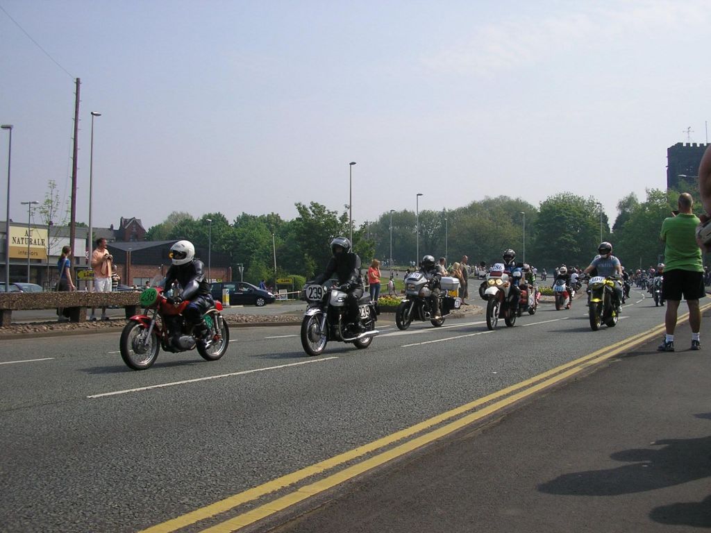
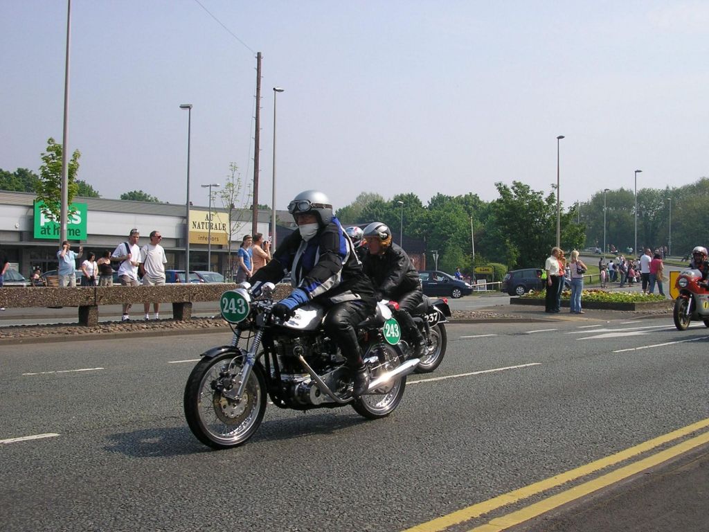
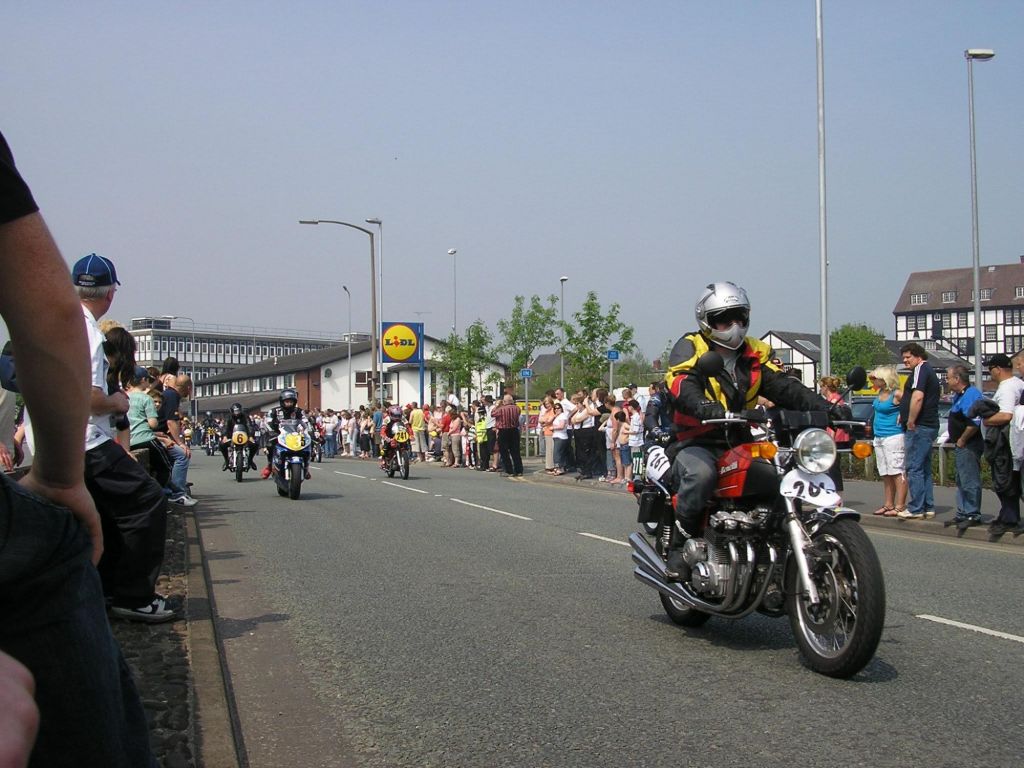
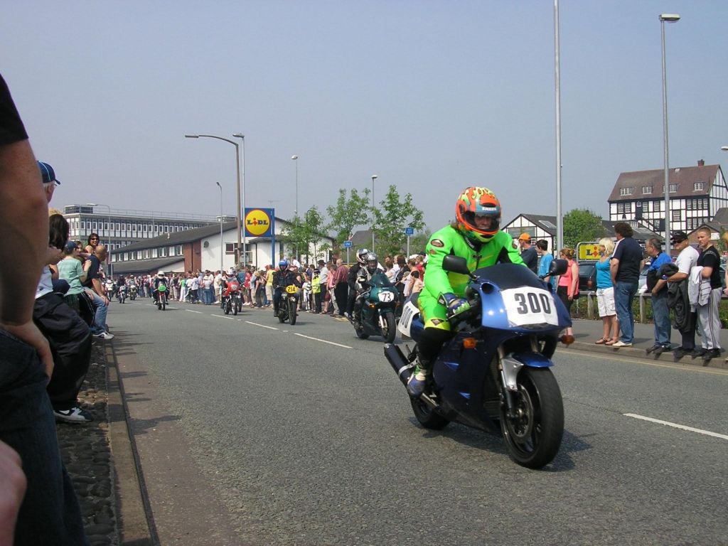
An event that is hosted in Northwich where lots of motorbikes turn up, people and bikes get to meet, chat, see different bikes, watch them traverse the main road round the town centre.
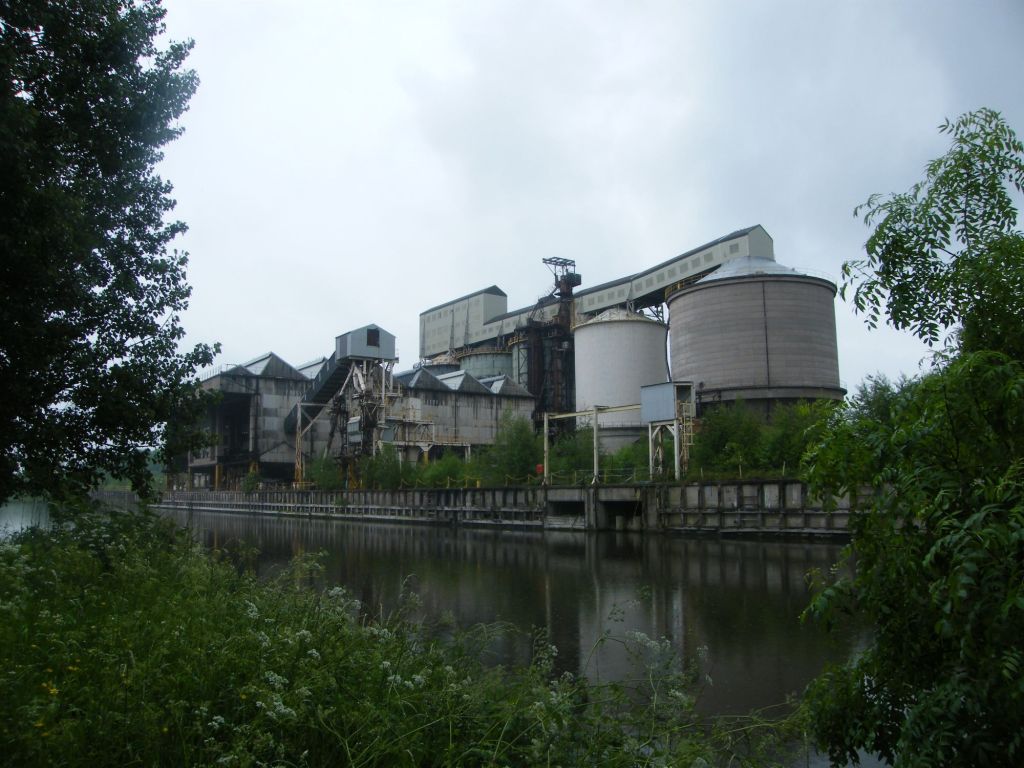
Another wet walk with the out walkers, but ha, it’s Britain, its rains here. So wrap up and we headed off along Barnton Cut towards Winnington. Following the course of the river Weaver and then walking back along the Trent and Mersey Canal.
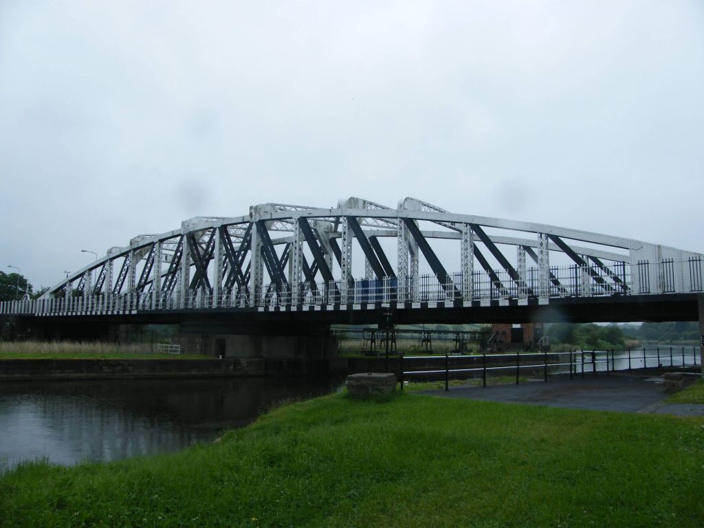
Acton Bridge Swing Bridge
So we started at The Leigh Arms pub which stands to one of the swing bridges which cross the river Weaver. The two main ones after this one are in Northwich which like Warringtons swing bridges, once activated all traffic stops. The river weaver to be fair does not have much water traffic beyond barges these days.
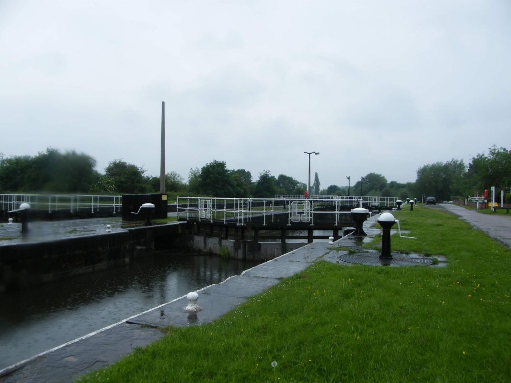
Saltersord LocksWallerscote Works
The route took use along the river weaver till we came to Wallerscote Island, part of ICI, and was a soda works factory. The area of Winnington is up for development. We passed the works and walked up to Anderson Boatlift where we had our lunch. Here we would return back to The Leigh Arms, but changing our route from the river to the canal. The Trent and Mersey Canal.
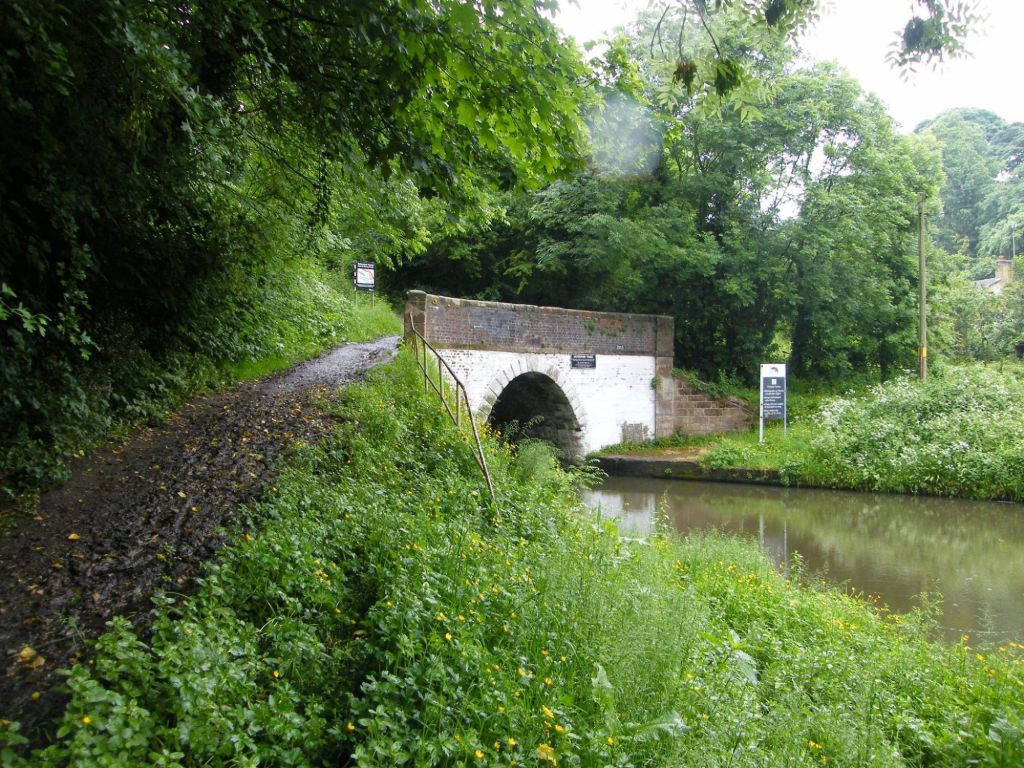
Entrance to Barnton Tunnel
The canal runs somewhere distance and passes Northwich to the north of the town, circling Marbury Country Park. Here in the picture is the Barnton Tunnels where the canal continues, but our route means we have to crosses over the tunnel to rejoin the canal on the other side. Two tunnels in fact reside in Barnton. Neither can be walked through, we have to use the former packhorse routes the barge horses would have used when the canal was actively used.
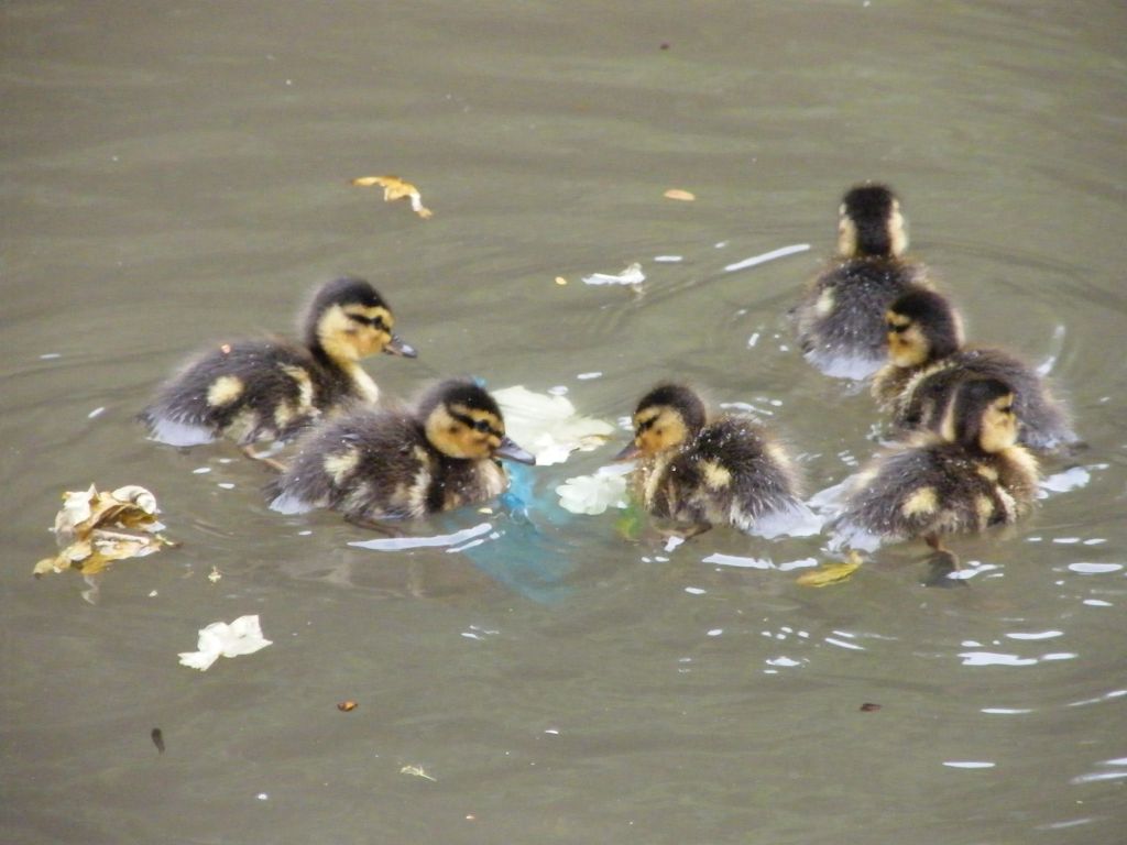
Ducklings
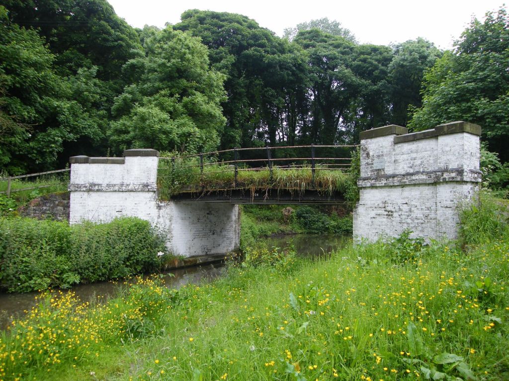
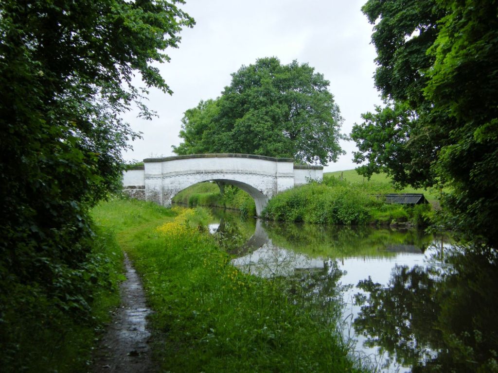
Of course several bridges cross over the canal, some carrying original roads, some pathways, access routes to farms, fields.
The reason along the Trent and Mersey canal was actually rather pretty. Despite the train and overcast good, the area is really nice to walk. The full photos are on the link at the top of the post. We all enjoyed the walk despite the weather. Inner of those ferries of reasoning in Britain, rain. Won’t be the first or last walk that has rain on it I am sure.
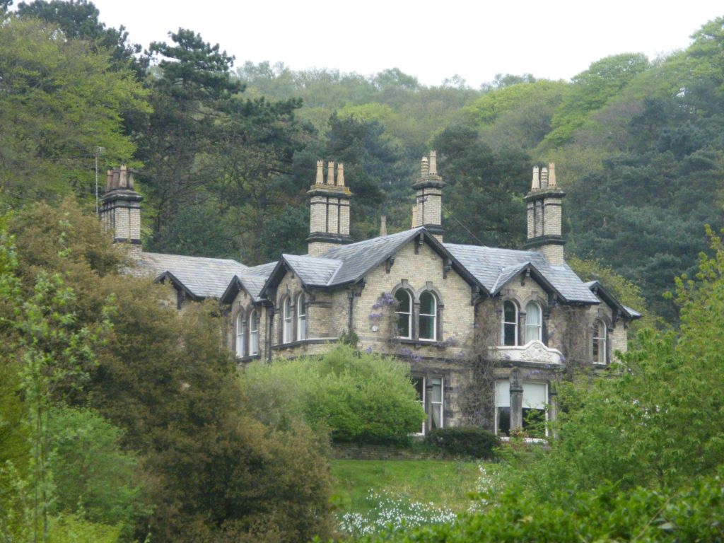
Foxhills is a place of worship, but was built over 150 years ago and built around a well. The grounds, has an arboretum of trees of varying types from various parts of the world and also a folly which overlooks Ellesmere Port and Stanlow.
Foxhills
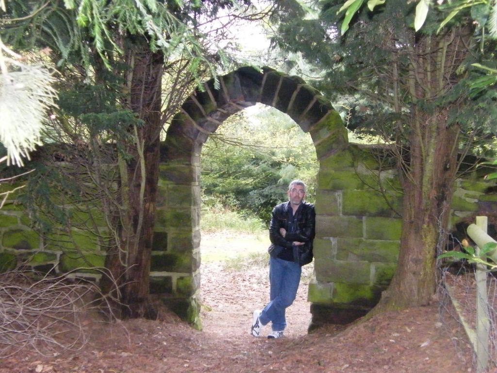
Following what paths we could find, we found the folly as well as this stone archway. Continuing we also got some misty views over towards Helsby Hill and Stanlow.
The other area near Foxhills I wanted to see especially was Frodsham Hill which is a ancient iron age hillfort. now covered in trees, some of the former ditches can be seen as well as old stone walls from when possible the area was used by farmers. Much of the area is covered in trees as well as a new plantation of trees to the south end of the hill.
Old stonewalls which i guess might be boundary walls at one point. Not going to keep much out now.
Beyond is Helsby Hill and the estuary as well as Stanlow. At one time beyond the refinery on a spit of land was an Abbey. Long since gone only a small amount of stones remain of the abbey and sadly inaccessible today.
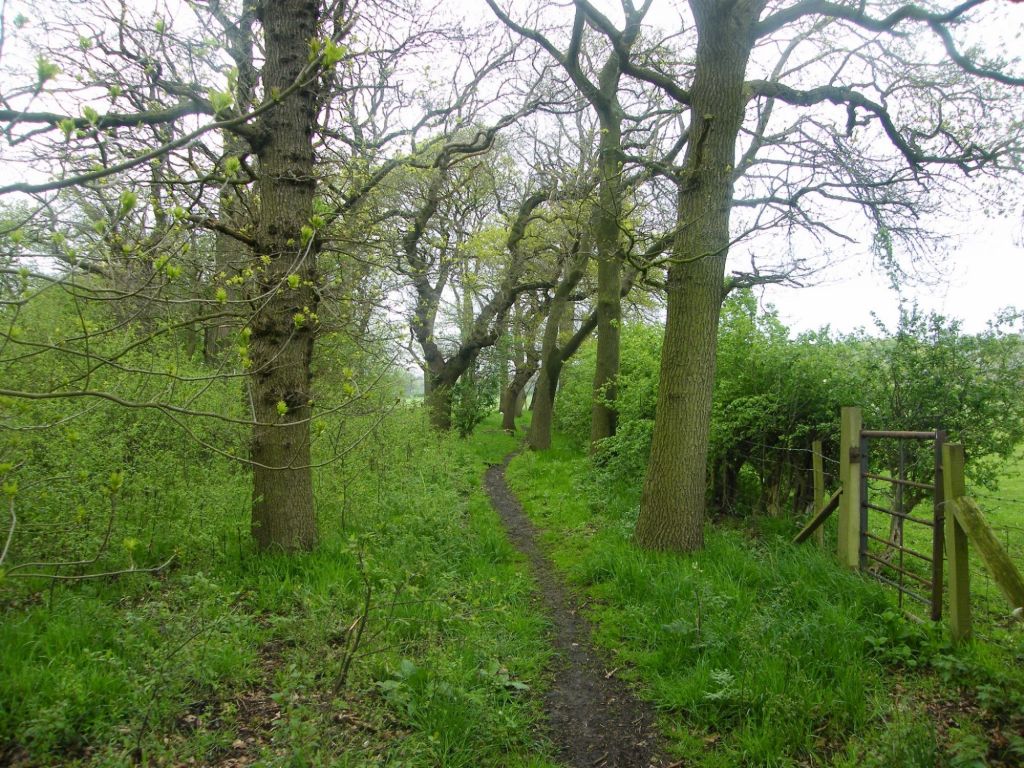
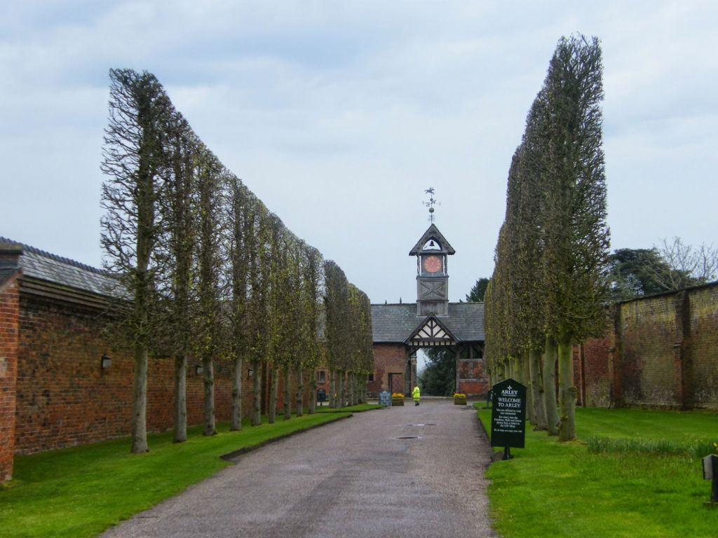
Despite being rather wet for most of the walk, I love this walk around Arley Estate taking in the footpaths around the hall, the small village of Arley Green and also a wonder through Great Budworth. A really enjoyable walk, one I enjoyed very much and shared with the walking group.
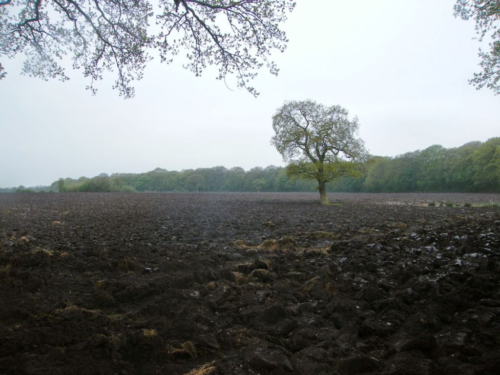
Once we got off the road, the route up to and around Arley was really nice. Fields countryside and just peace. Yes it was muddy underfoot, but that sort of expected in Spring and when it’s raining. Good boots and coat and all will be fine.
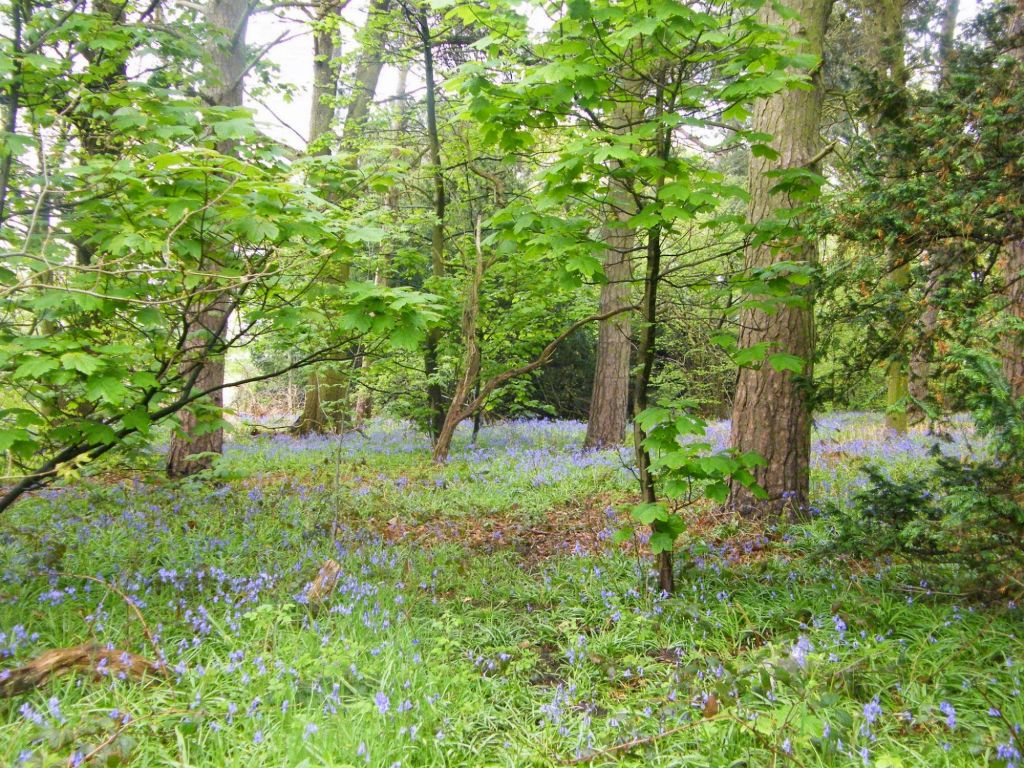
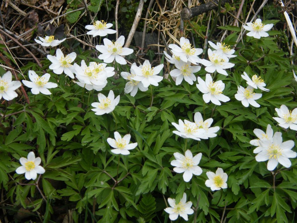
Spring means flowers and yes the bluebells were out which makes the woodland floors in Spring ever so pretty with their blue haze across the ground.
Main entrance to the hall and grounds. No we are not venturing in today. We are going to circle round the estate following the lane which runs to the back of the hall to the village of Arley Green to the East of the state.
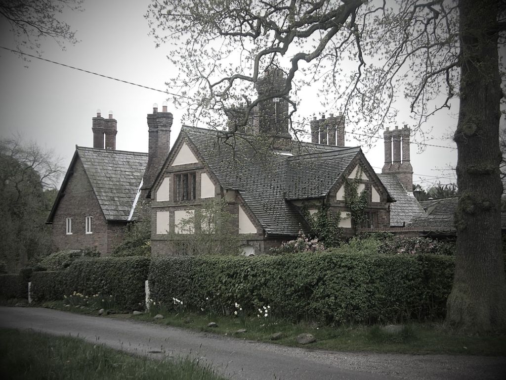
Arley Green is not very big, but even in the wet weather it is beautiful. The small smattering of houses that make up the village are so picture box that many people come to photograph the village. Like Great Budworth, Arley Green is Tudor style housing and the small window framed cottages which add to that picturesque look.
Ignore the hum of the M6 which sadly is not that far away, this village is a peaceful and intriguing place. Our route now circles round across more fields as we head back towards Great Budworth.
Big Wood which stands to the right of the pictures sadly is odd limits being private, so we cross the fields instead, with a dodge footbridge and one of two heafty stiles.
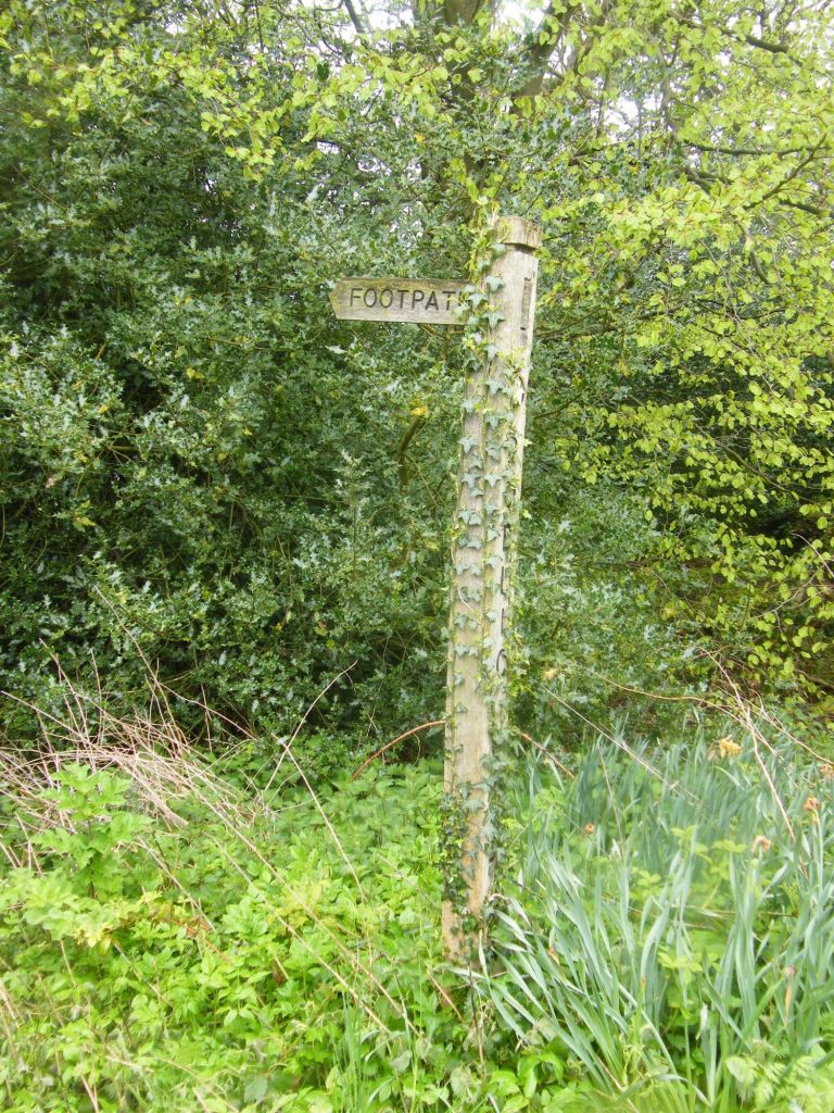
At the far end of the fields as we return to the lanes, this ivy covered sign, indicates the route we had just taken.
The start of the walk was lame walking from the pub up to the edge of the Arley Estate. A bit further lane walking, brings us to the edge of Great Budworth village. Picturesque, yet busy hub as the award winning Green Dragon brings in a lot of people as does the buildings that make you this village. We will finish our walk at the other pub we started from, Cock O’Budworth.
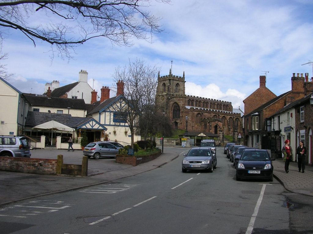
I have been to Wales I am quite sure many a time in my past, Llandudno being I am sure a popular spot for my parents to take me when I was a child. But memories of my childhood are limited unless I have photos to back them up. So trips into Wales I don’t actually remember very well.
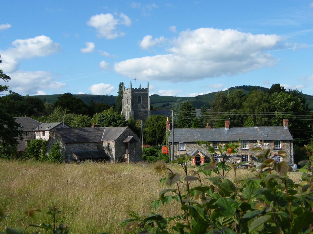
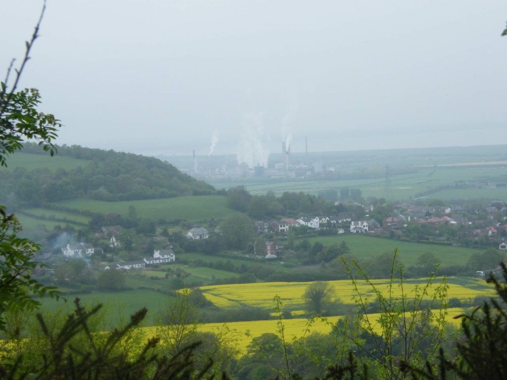
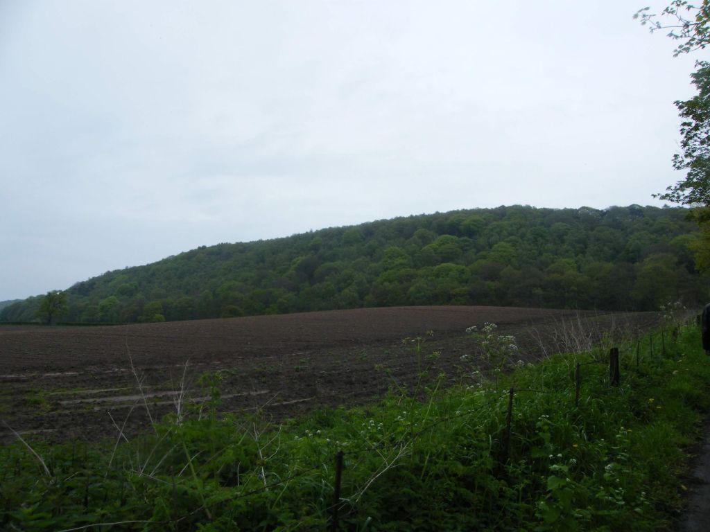
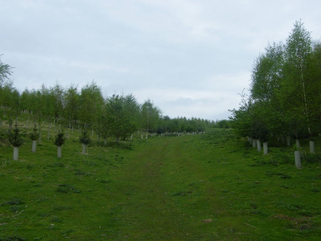
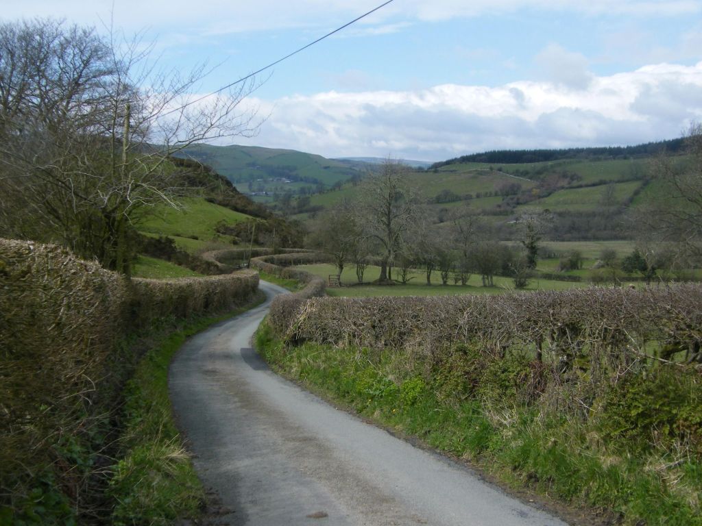
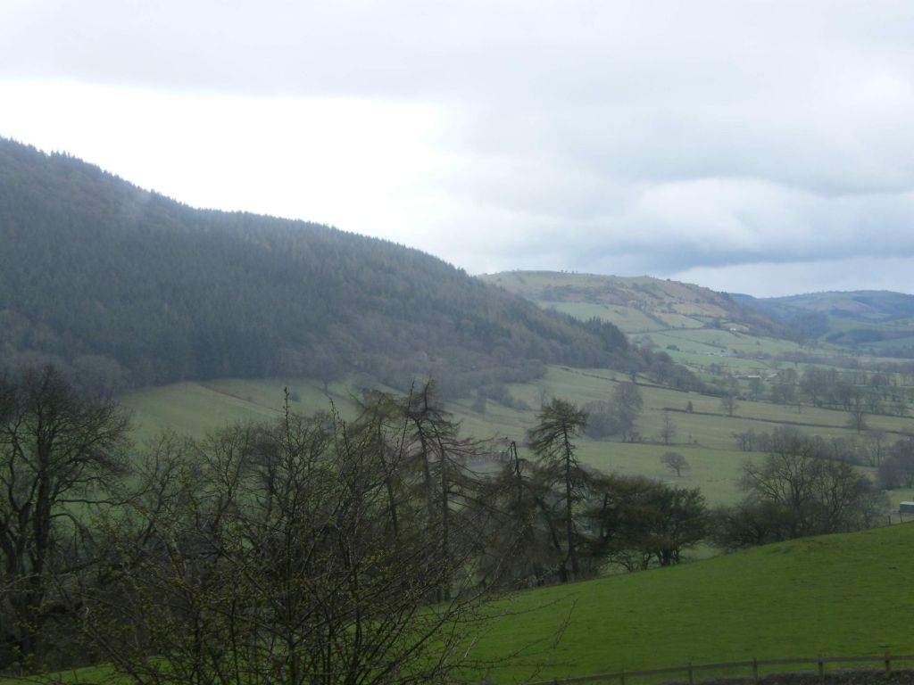
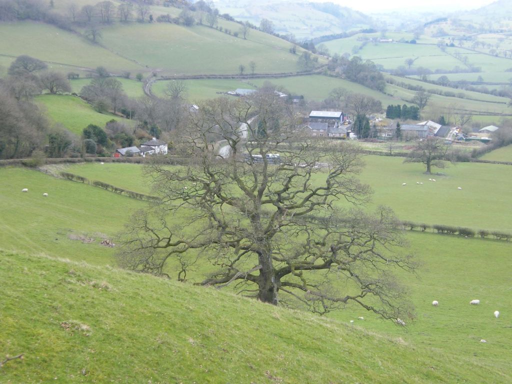
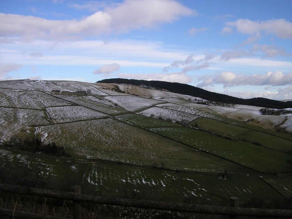
Mark has friends in Wales, in a small village called Llansilin. Never been before so a day visit sounded lovely as it meant I got to meet them and we also got a walk around the area as well. Despite being April and yes, still cold and a bit bleak, I can’t deny Wales is beautiful anytime of the year. Llansilin was so lovely. Rolling landscapes and patterned hillside.
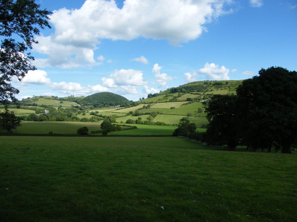
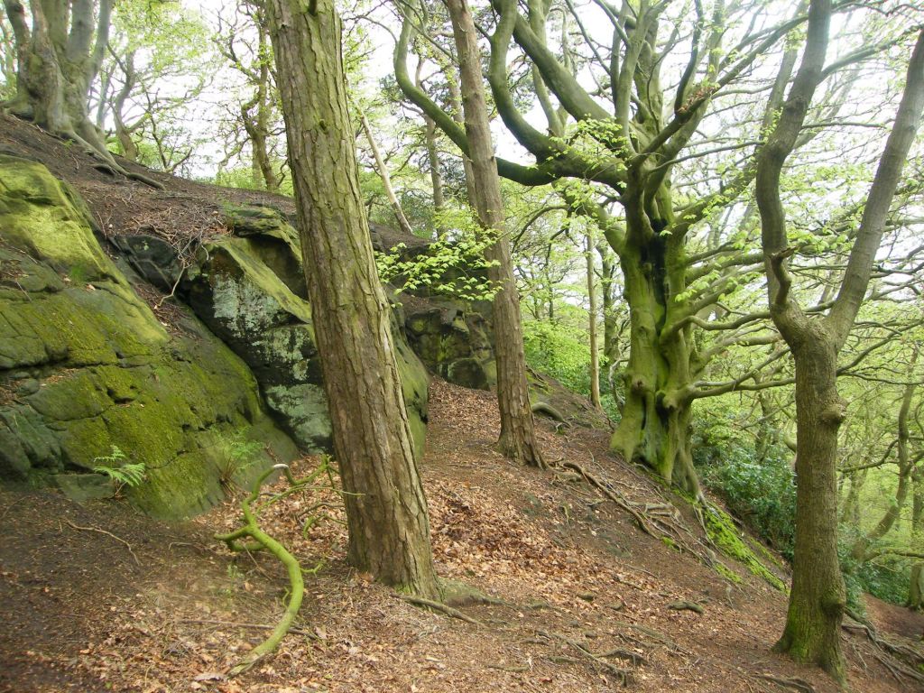
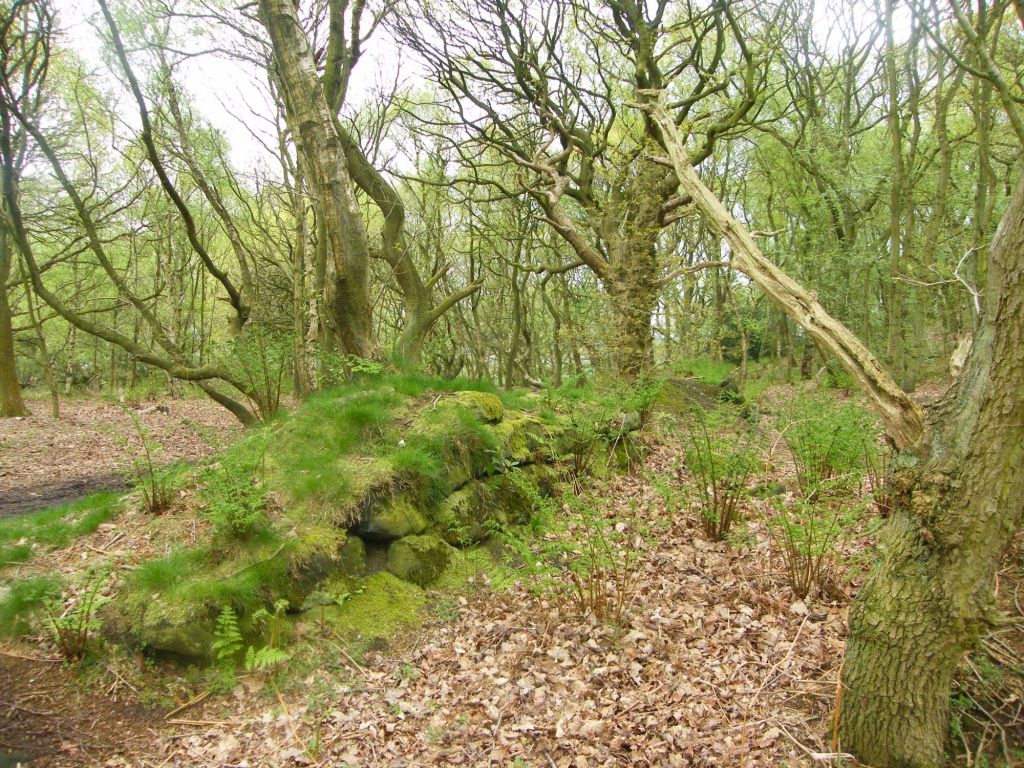
Coed Cochion
As we entered the valley this was one of the first views we got. Coed Cochion, a vast woodland, draped over a hillside. I already felt this valley had lots of walks to offer I am sure.
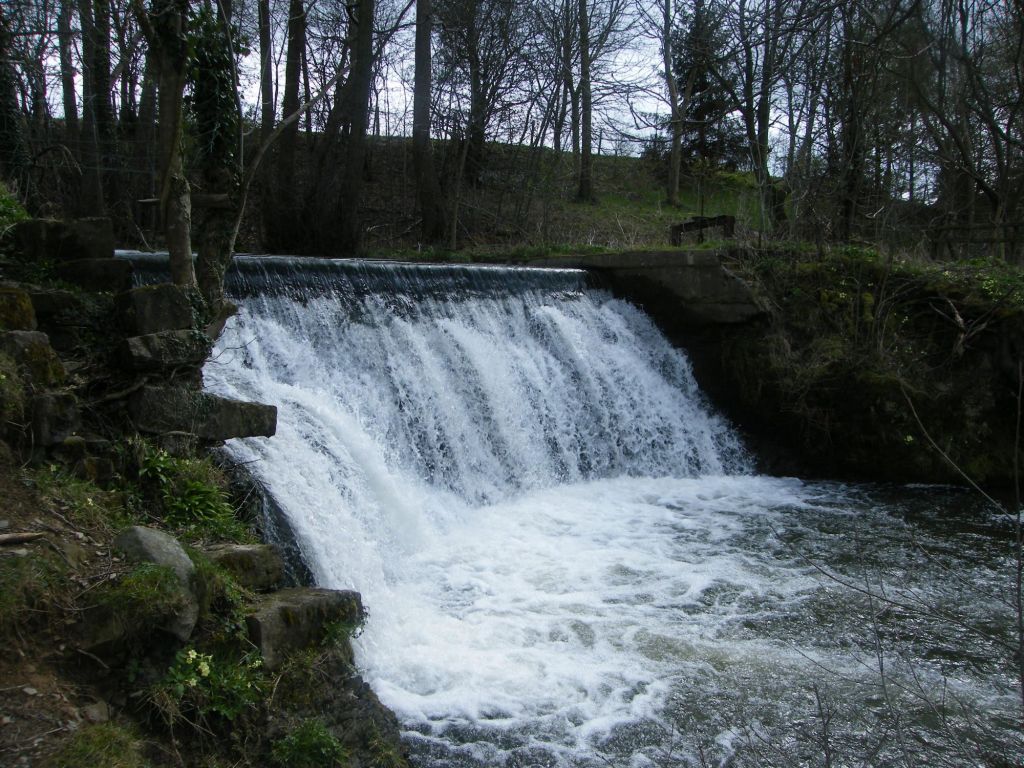
Marks friends offered us a walk which would circle to the south east of the village. In all fairness I have no idea what route we did in the end, but it was lovely either way. A picturesque waterfall for one feature to find.
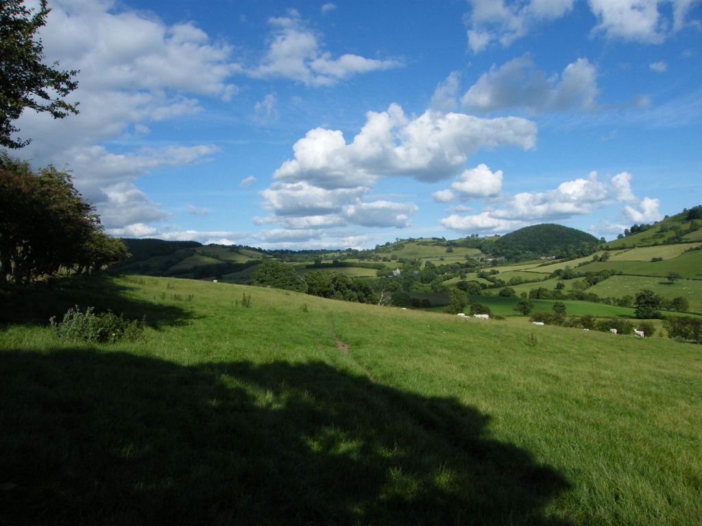
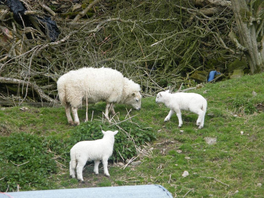
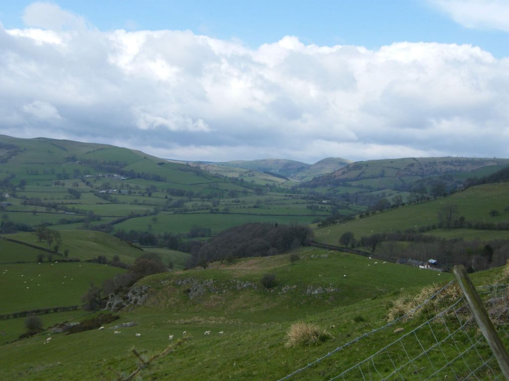
Spring Lambs, always a delight to see. We saw quite a few lambs on the walk. But what I enjoyed most of the walk.werw the views. We did get high up into the hills, only a small distance from the village, but it was enough to get views across the valley without a high ascent. Not quite sure what the area is actually called but refer to it as the Llansilin Valley. The area is beautiful. A patchwork of field systems, small woodland strips all carpeted over rolling hills. I did find the area rather beautiful to admire.
If you look at the other photos in the album, (link at top of the post) I took quite a few pictures of the valley and in the distance you can see the hills and mountains of Wales still covered in snow. Wales is so beautiful you can’t deny.
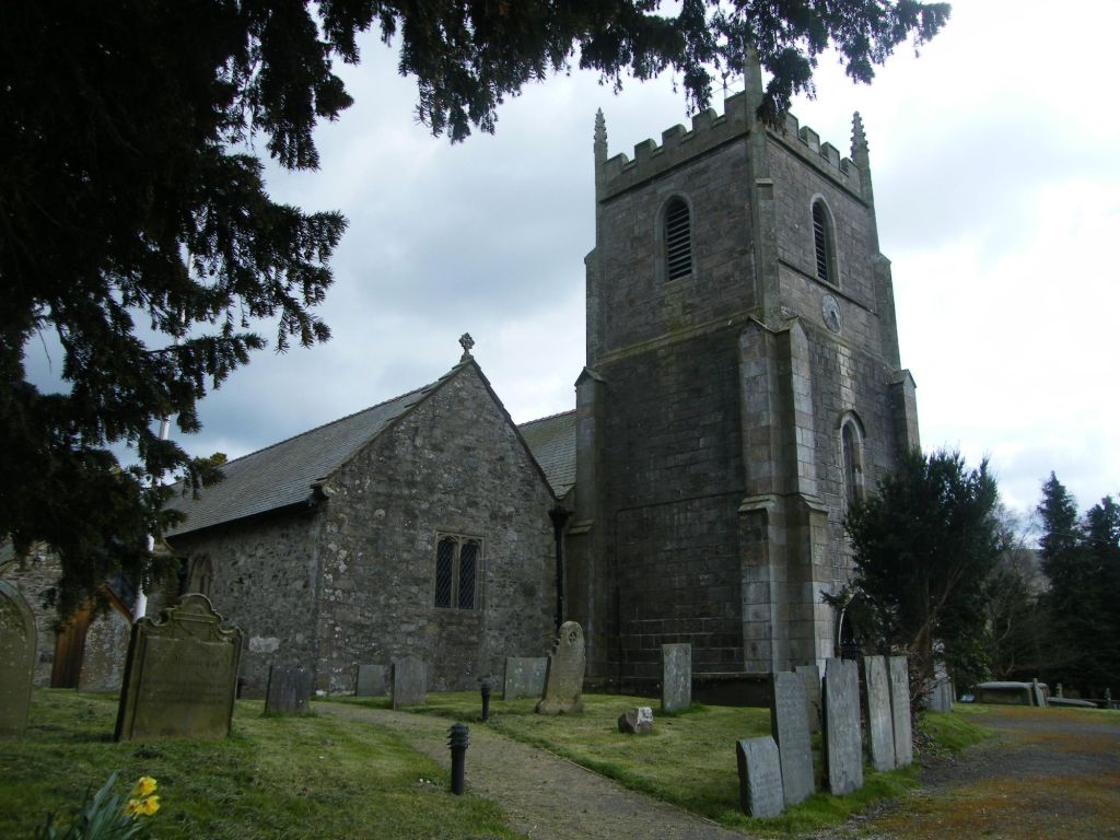
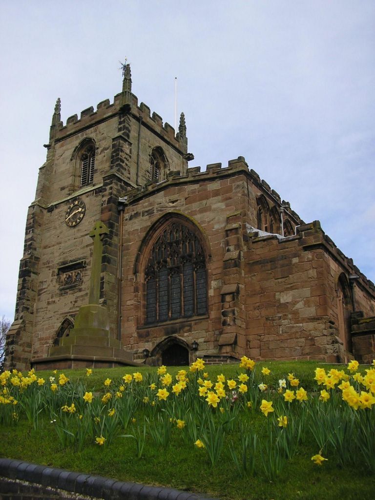
At the end of the walk as we returned to the village we went into St Silin’s Church, which dates back to the 13th century. During the Civil War the church was used as stabling for horses by the parliamentary forces besieging nearby Chirk castle. The churchyard also boasts some ancient yew trees and gravestones with witches marks on them.
All in all today was a good day out, meeting Marks friends, a lovely walk and exploring a part of Wales that I have never been to.
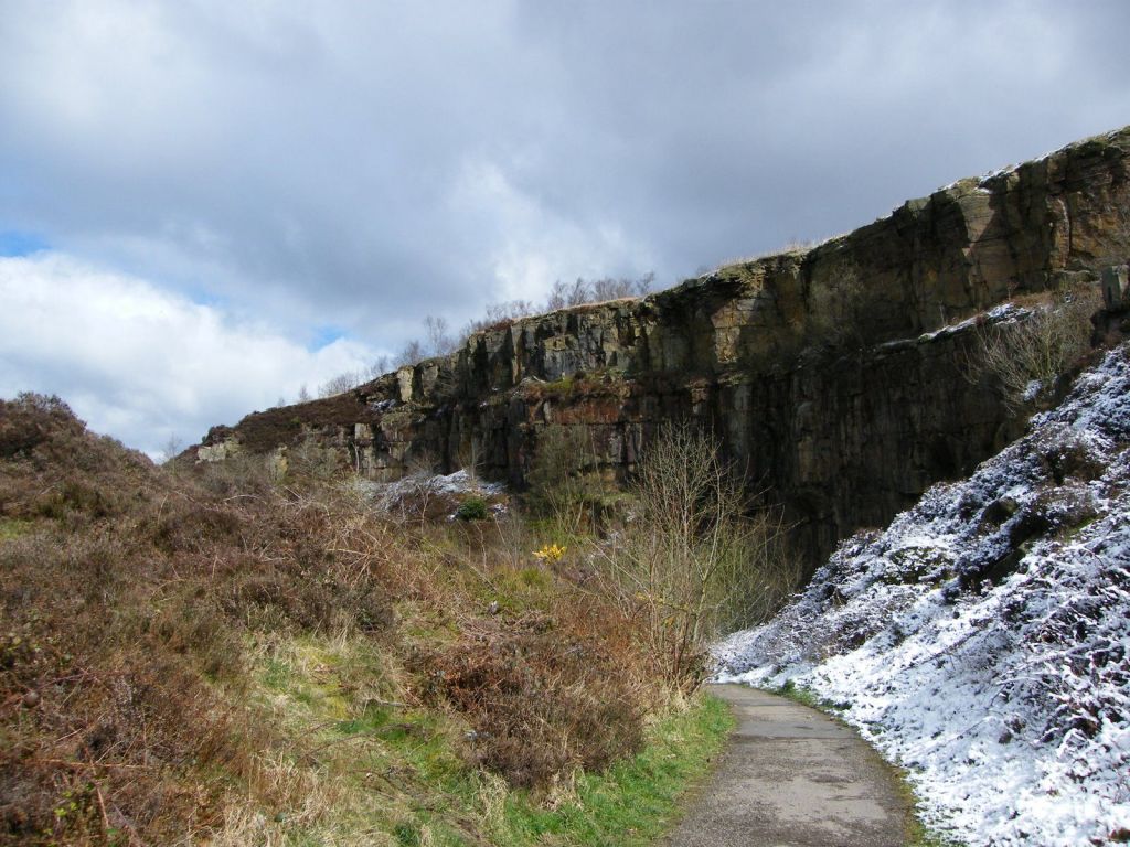
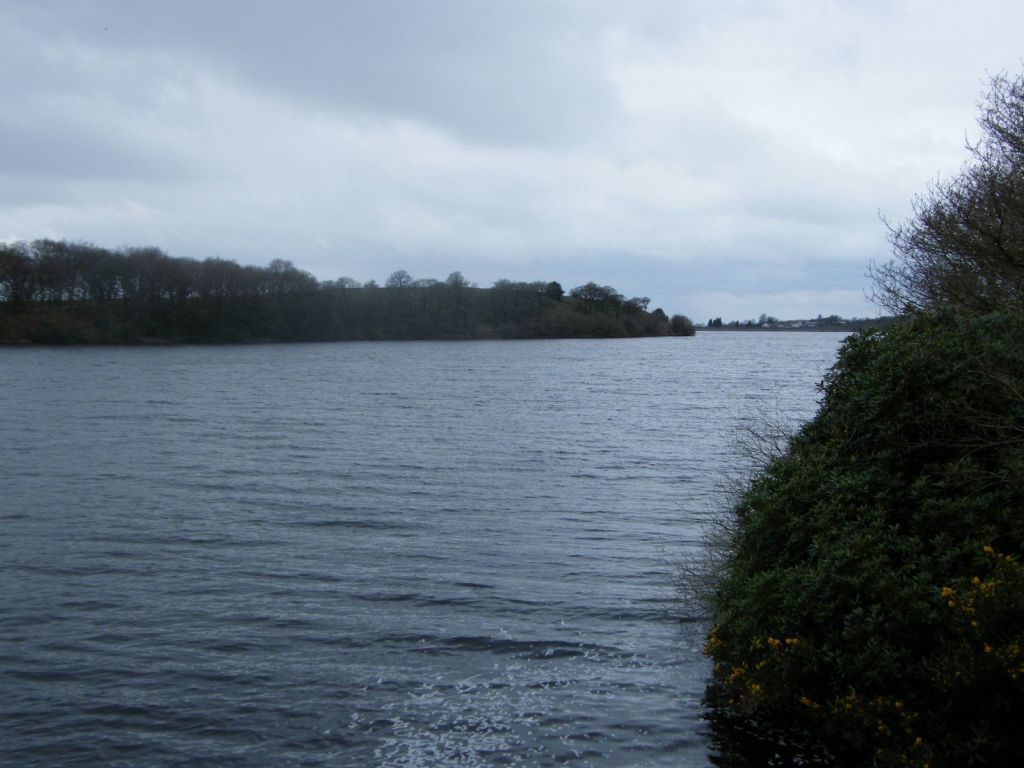
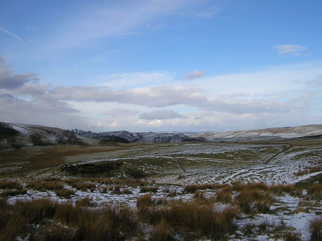
High in the Pennine Moors, the Out walkers went to explore Anglezarke reservoir and the countryside around it. Despite being April, there was still snow on the ground. Snow! Not sure last time I saw snow this late into the year.
Quarry face along the walk
Wrapped up and ready to go, we set off on our walk which would circle Anglezarke Reservoir, going all the way north to the top of the reservoir at White Coppice. It may be a bleak Alpha Sunday, but we were up for a walk no matter what and the sun was out, blue sky, sod the cold, let’s do this.
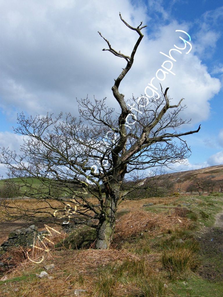
One thing I love about winter, on a sun day, is how the trees, bare and empty, look as picturesque as ever with or without leaves. Sadly I think this poor tree has seen better days, but the moorland behind and the trees angled pose made for a more dramatic look to photograph.
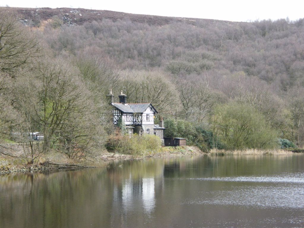
At the top of the reservoir just near White Coppice is this gully where beyond the remains of quarrying can be found. This area used to have a mill and was a small industrial hub. Quiet and peaceful, years last, areas like this would have been a hub of activity for quarrying, mining and cotton mills across the Bolton Borough. The village even had its own school at one point. At this point of the walk we took a break and had lunch.
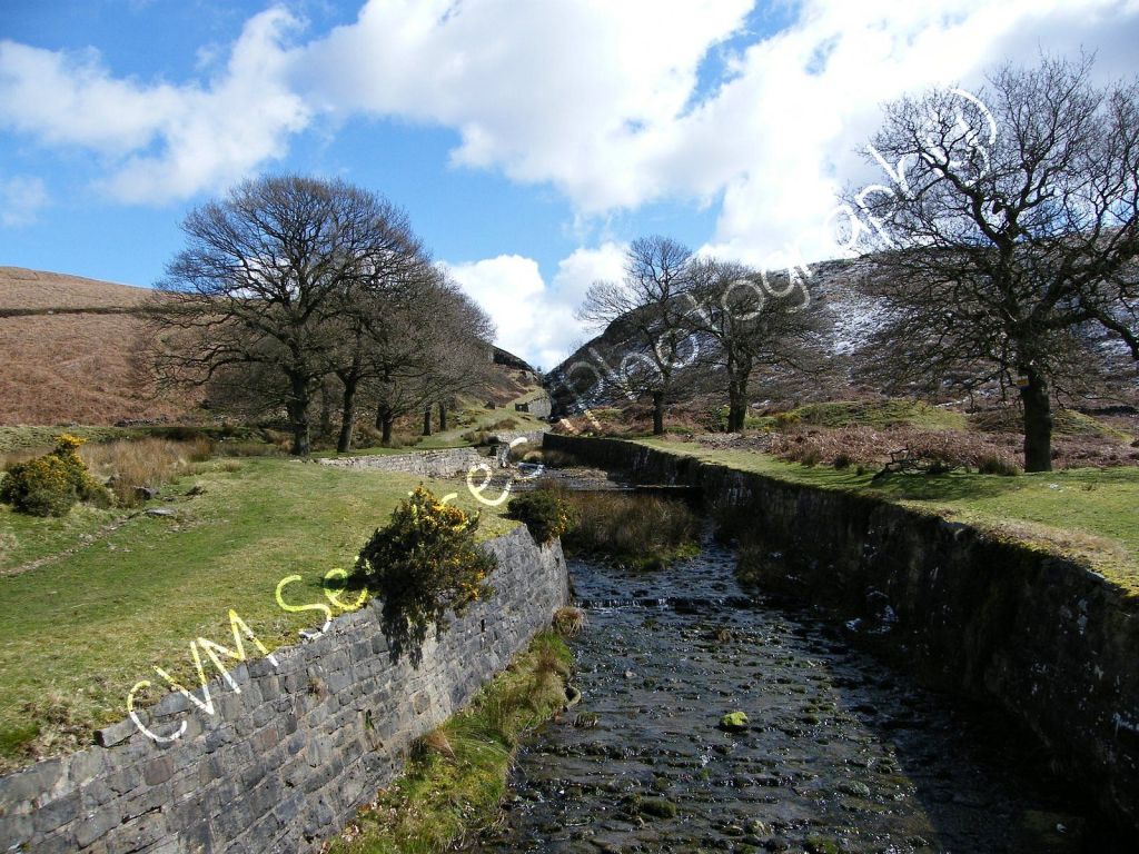
Circling the top end, we began to make our way back down towards the reservoir and follow the westside. The empty trees and grey moorland around us reminds you, that despite today and how busy the world is, 100 years ago when people lived and worked in this area, it would have been a hard life and empty as well. The moorlands of the West Pennines would have been much more empty of people compared today. Life would have been difficult pre World War 1.
Following the footpaths back to the start, the reservoir can be seen to the left as we worked our way back along the muddy footpaths. In the picture below, we saw Winter Hill which we did on a previous walk. Likely been rather cold up there today.
Winter Hill
We end the walk back where we started at the bottom end of Anglezarke Reservoir. Find in impressive the reservoir has been here since the 1850s, and still stands. It a favour landmark of the area for walkers. Like a few posts I put up, this was once of the places my parents and my grandma would visit for walks when I was a child. I don’t hold memories of those walks sadly, but having done this with the walking group I have created a new memory of the place which is just as important.
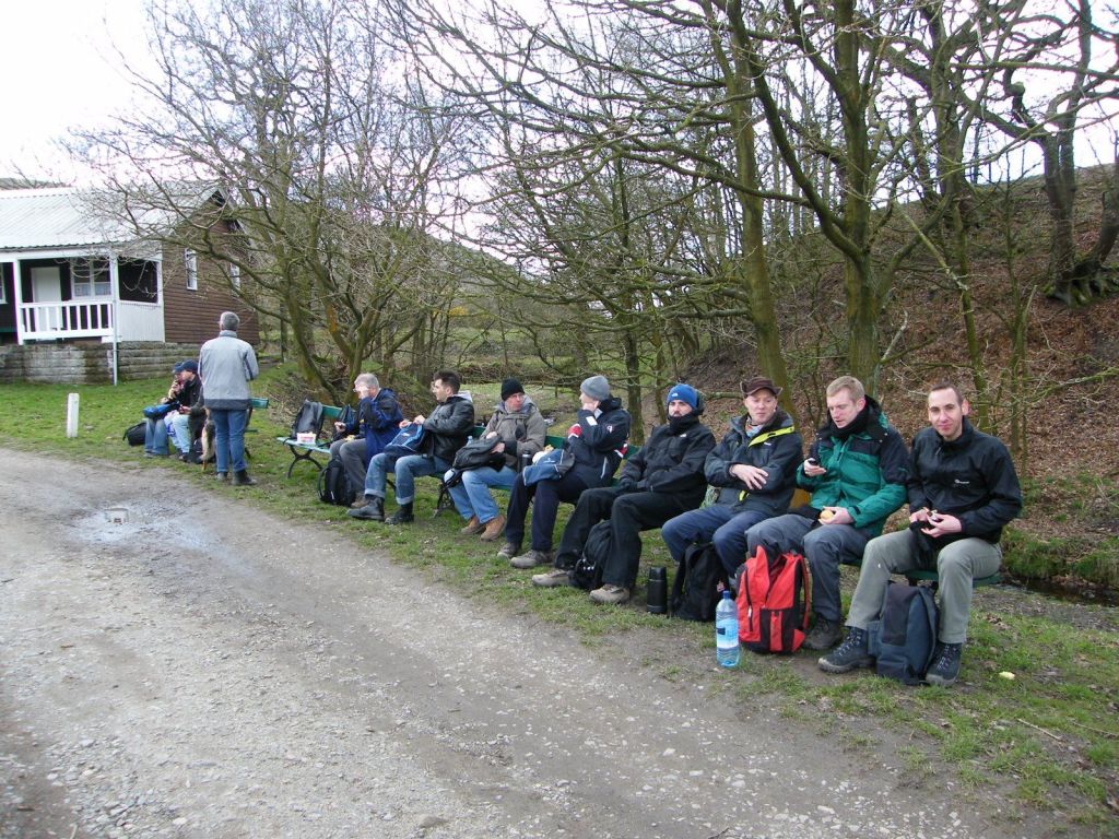
Thank you for reading another post of mine. As I will remind and say often, the link at the top of the post takes you to all the photos from the walk including ones Edward took who came on the walk.
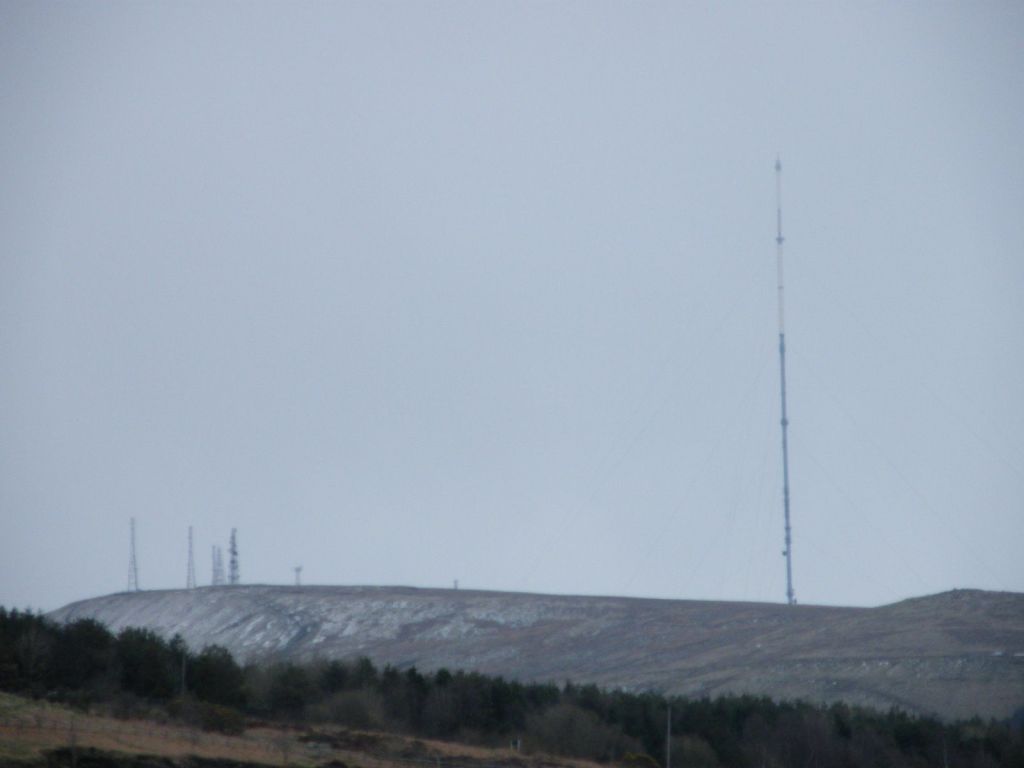
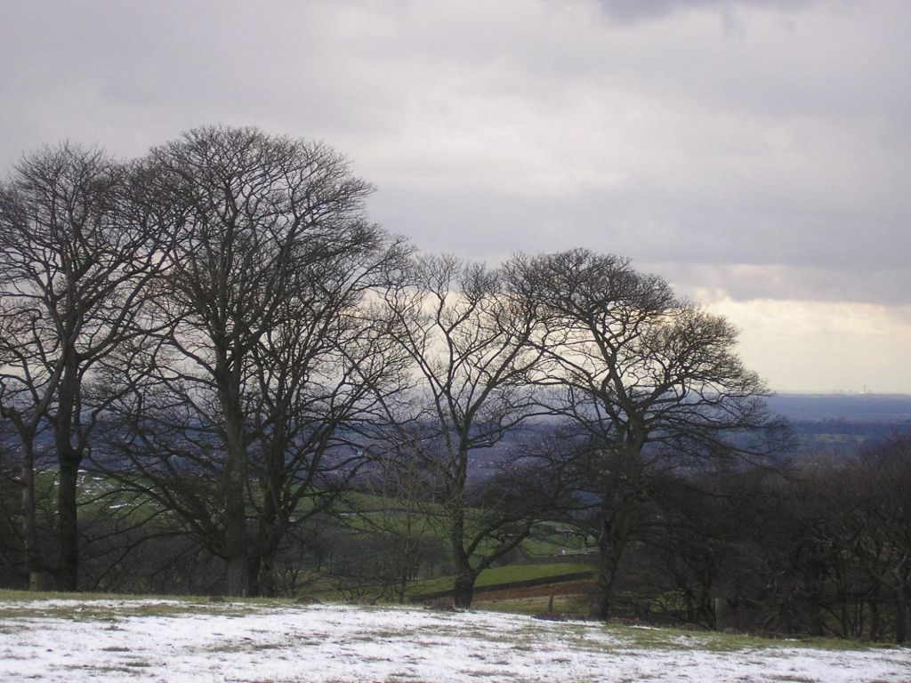
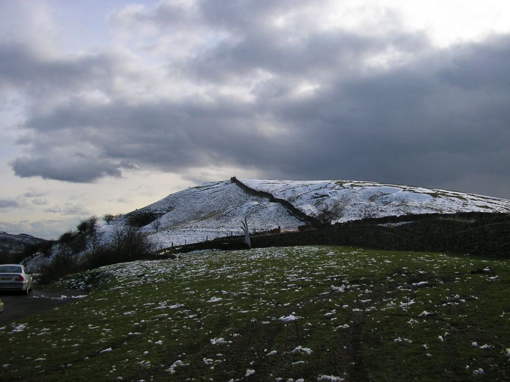
So later that day after our trip to Audlem in the south of Cheshire, we went for a drive to the East of Cheshire and Macclesfield, up into the hills where we got a panoramic view of Cheshire from a vantage point over the town. Could even see Jodrell Bank in the view.
So where as Audlem is on lower ground and had no snow at all. Up on the hills near Macclesfield Forest where we were there was some snow cover on the hillsides. Despite it being April. It had been my first winter in Cheshire and I don’t think it had been tat cold or snowy. So the drive out to see some snow about was nice.
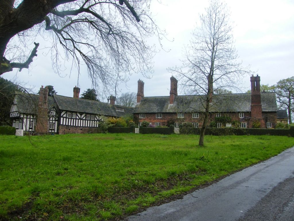
Out visit to Audlem was a day trip out exploring Cheshire. It’s only my second year in Cheshire since moving here in June 2007, so most of the country i no little about. This was a chance for a drive out and visit somewhere new.
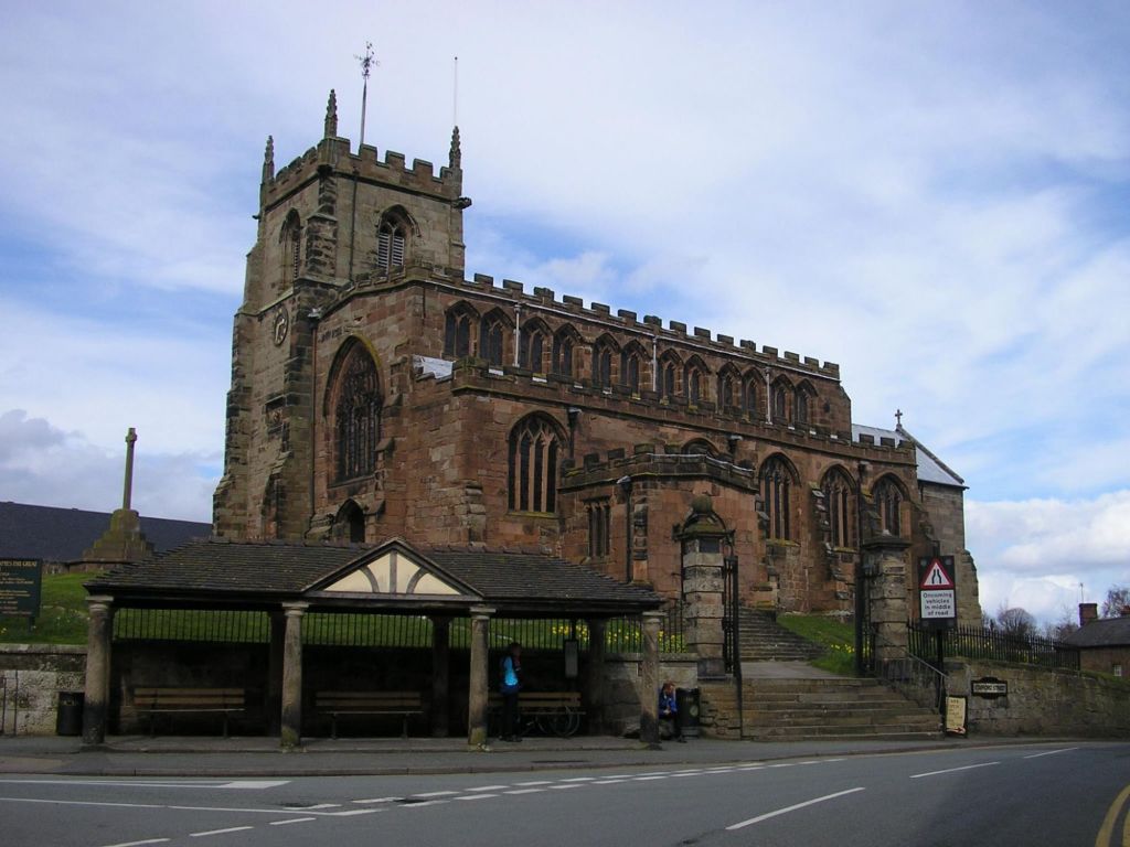
St James the Great Church
We didn’t go into the church. Our visit was simply a wonder round the village hence not taking many photos. It was still a nice village. Should come again and do some more exploring. Find out more about the history of the place.